Transport Functions
Rail
Road
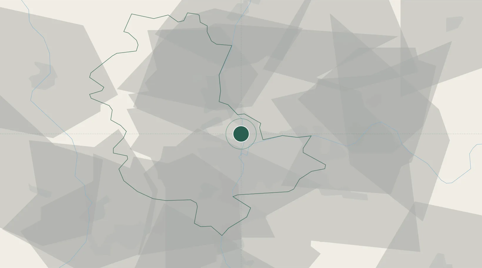
Hub Profile
Place type
Populated place
Region
Rhône-Alpes
Time zone
Europe/Paris
Elevation
210 m
Location
Nearby Logistics Neighbours
Cities
- 1Couzon-au-Mont-d'Or1 km
- 2Neuville-sur-Saône4 km
- 3Saint-Cyr-au-Mont-d'Or4 km
- 4Saint-Germain-au-Mont-d'Or5 km
- 5Chasselay5 km
Ports
- 1Fos269 km
- 2Port-de-Bouc271 km
- 3Port Saint Louis Du Rhone272 km
- 4Marseille283 km
- 5Sete285 km
Airports
Trade Zones
- 1ZFU Rillieux-la-Pape2 km
- 2ZFU Lyon 9e7 km
- 3ZFU Vaulx-en-Velin9 km
- 4ZFU Vénissieux15 km
- 5ZFU Saint-Etienne62 km
DatabookThe Record of Consolidated Knowledge
France beyond logistics?