UN/LOCODE hub · France
FRG3L

Lestiac-sur-Garonne

44.6833°, -0.3833°
634
Population
1
Transport functions

Transport Functions

Multimodal
UN/LOCODE

Hub Profile

Place type
Populated place
GeoNames
Region
Nouvelle-Aquitaine
GeoNames
Population
634
GeoNames
Time zone
Europe/Paris
GeoNames
Elevation
10 m
GeoNames

Location

Location of FRG3L
Natural Earth 10m (public domain) · Nouvelle-Aquitaine · FRG3L · 44.68, -0.38GoogleOSMYandex

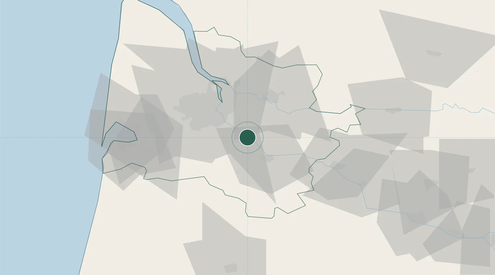
Nearby Logistics Neighbours

Cities
  1. 1Paillet1 km
  2. 2Arbanats2 km
  3. 3Langoiran4 km
  4. 4Tabanac4 km
  5. 5Le Tourne4 km
Nearest neighbours — logibook spatial index (haversine) over the source coordinates
Ports
  1. 1Bordeaux25 km
  2. 2Ambes39 km
  3. 3Blaye55 km
  4. 4Pauillac64 km
  5. 5Le Verdon110 km
Nearest neighbours — logibook spatial index (haversine) over the source coordinates
Airports
  1. 1Bordeaux–Mérignac Airport31 km
  2. 2Aérodrome d'Arcachon-La Teste-de-Buch58 km
  3. 3Cazaux (BA 120) Air Base61 km
  4. 4Bergerac Dordogne-Périgord airport73 km
  5. 5Mont-de-Marsan (BA 118) Air Base86 km
Nearest neighbours — logibook spatial index (haversine) over the source coordinates
Trade Zones
  1. 1ZFU Hauts de Garonne22 km
  2. 2Port de Bordeaux28 km
  3. 3ZFU La Rochelle177 km
  4. 4ZFU Toulouse189 km
  5. 5Depósito Franco de Pasajes (Guipúzcoa)195 km
Nearest neighbours — logibook spatial index (haversine) over the source coordinates
DatabookThe Record of Consolidated Knowledge
France beyond logistics?
Browse databook

All Sources

LocationsUN/LOCODE
UN/LOCODE — free
LocationsGeoNames
CC BY 4.0
Portsthe NGA World Port Index
Public domain (US gov)
AirportsOurAirports
Public domain
Trade Zonesthe World Bank SEZ database
CC BY 4.0
Trade ZonesOpen Zone Map
CC BY
← France locations