Transport Functions
Multimodal
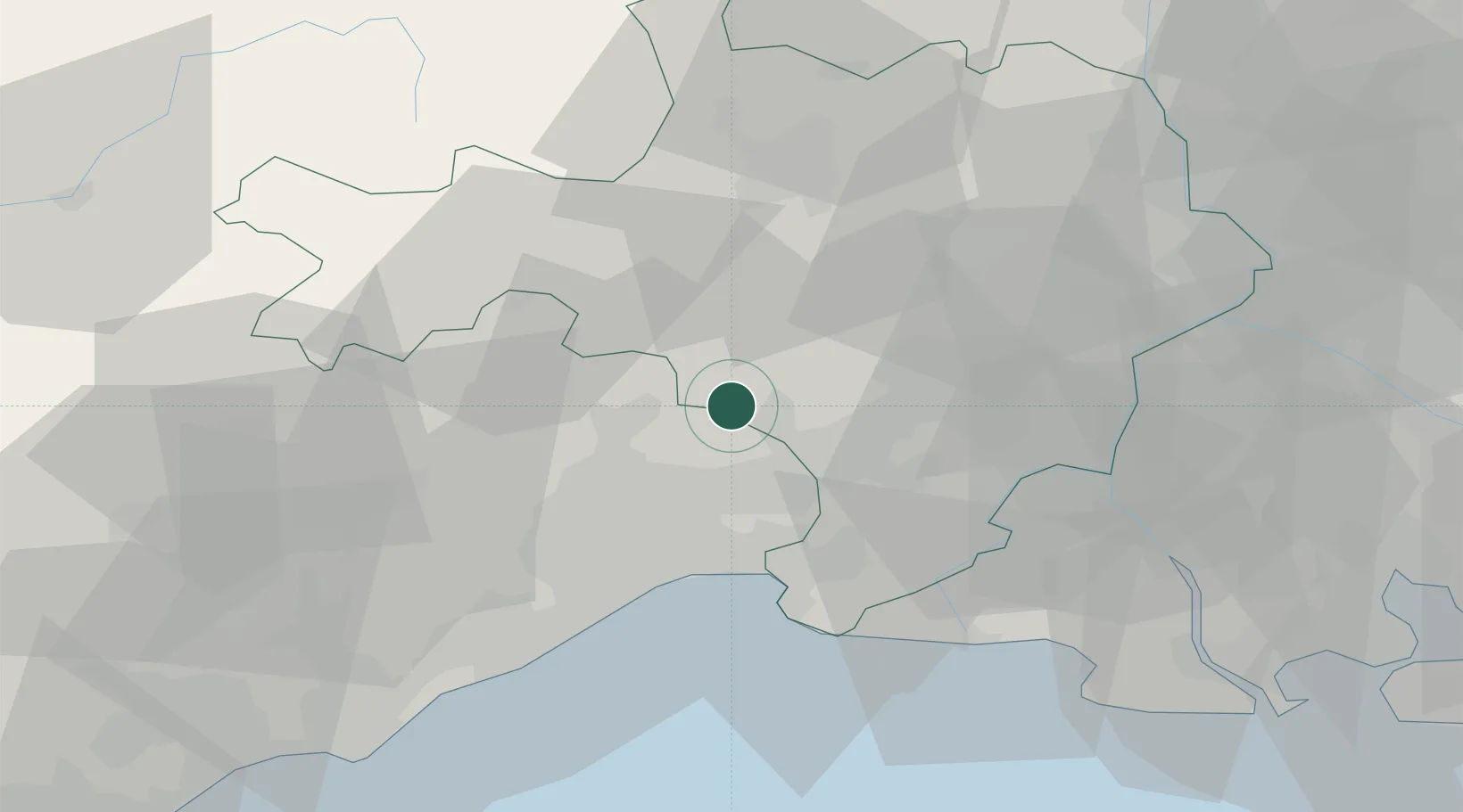
Hub Profile
Place type
Populated place
Region
Occitanie
Population
381
Time zone
Europe/Paris
Elevation
79 m
Location
Nearby Logistics Neighbours
Cities
- 1Campagne2 km
- 2Fontanès3 km
- 3Saint-Clément4 km
- 4Galargues5 km
- 5Buzignargues6 km
Ports
- 1Sete53 km
- 2Port Saint Louis Du Rhone77 km
- 3Fos80 km
- 4Port-de-Bouc87 km
- 5Port-La-Nouvelle118 km
Airports
Trade Zones
- 1ZFU Nîmes24 km
- 2ZFU Montpellier27 km
- 3ZFU Avignon63 km
- 4ZFU Béziers85 km
- 5ZFU Saint-Barthélémy, Le Canet, Delorme-Paternelle112 km
DatabookThe Record of Consolidated Knowledge
France beyond logistics?