Transport Functions
Multimodal
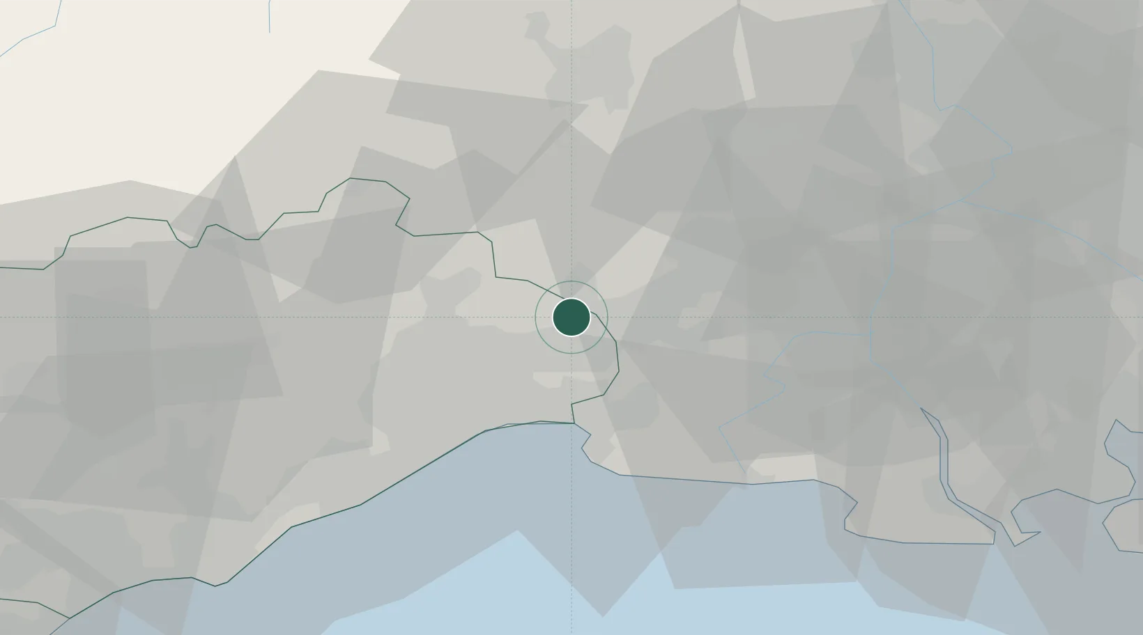
Hub Profile
Place type
Populated place
Region
Occitanie
Population
653
Time zone
Europe/Paris
Elevation
39 m
Location
Nearby Logistics Neighbours
Cities
- 1Vérargues2 km
- 2Boisseron2 km
- 3Saturargues2 km
- 4Junas4 km
- 5Galargues8 km
Ports
- 1Sete49 km
- 2Port Saint Louis Du Rhone70 km
- 3Fos72 km
- 4Port-de-Bouc80 km
- 5Marseille112 km
Airports
Trade Zones
- 1ZFU Nîmes22 km
- 2ZFU Montpellier25 km
- 3ZFU Avignon61 km
- 4ZFU Béziers84 km
- 5ZFU Saint-Barthélémy, Le Canet, Delorme-Paternelle105 km
DatabookThe Record of Consolidated Knowledge
France beyond logistics?