Transport Functions
Road
Multimodal
Hub Profile
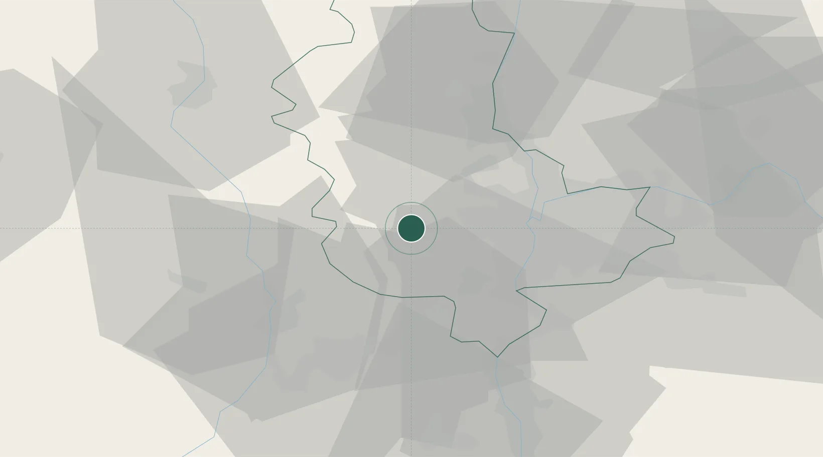
Place type
Populated place
Region
Rhône-Alpes
Population
1,205
Time zone
Europe/Paris
Elevation
392 m
Location
Nearby Logistics Neighbours
Cities
- 1Bessenay6 km
- 2Duerne6 km
- 3Brindas9 km
- 4Sain-Bel10 km
- 5Soucieu-en-Jarrest12 km
Ports
- 1Fos259 km
- 2Port-de-Bouc262 km
- 3Port Saint Louis Du Rhone262 km
- 4Sete268 km
- 5Marseille276 km
Airports
- 1Lyon Bron Airport29 km
- 2Saint-Étienne-Bouthéon Airport30 km
- 3Lyon Saint-Exupéry Airport41 km
- 4Roanne-Renaison Airport57 km
- 5Mâcon-Charnay Airfield65 km
Trade Zones
- 1ZFU Lyon 9e19 km
- 2ZFU Vénissieux22 km
- 3ZFU Rillieux-la-Pape25 km
- 4ZFU Vaulx-en-Velin28 km
- 5ZFU Saint-Etienne40 km
DatabookThe Record of Consolidated Knowledge
France beyond logistics?