Transport Functions
Rail
Road
Hub Profile
Place type
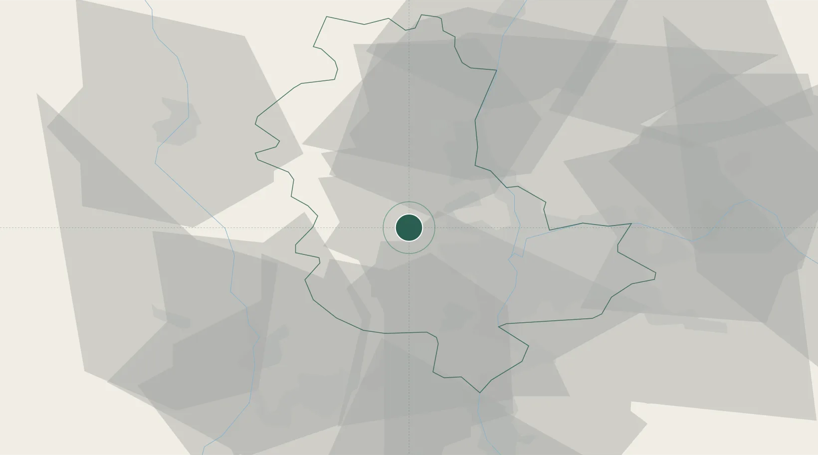
Populated place
Region
Rhône-Alpes
Population
2,022
Time zone
Europe/Paris
Elevation
244 m
Location
Nearby Logistics Neighbours
Ports
- 1Fos268 km
- 2Port-de-Bouc270 km
- 3Port Saint Louis Du Rhone271 km
- 4Sete278 km
- 5Marseille285 km
Airports
- 1Lyon Bron Airport28 km
- 2Saint-Étienne-Bouthéon Airport39 km
- 3Lyon Saint-Exupéry Airport39 km
- 4Roanne-Renaison Airport53 km
- 5Mâcon-Charnay Airfield55 km
Trade Zones
- 1ZFU Lyon 9e17 km
- 2ZFU Rillieux-la-Pape20 km
- 3ZFU Vénissieux24 km
- 4ZFU Vaulx-en-Velin25 km
- 5ZFU Saint-Etienne50 km
DatabookThe Record of Consolidated Knowledge
France beyond logistics?