UN/LOCODE hub · France
FRWQA

Mézoargues

43.8667°, 4.6500°
2
Transport functions

Transport Functions

Port
Road
UN/LOCODE

Hub Profile

Region
13
GeoNames

Location

Location of FRWQA
Natural Earth 10m (public domain) · 13 · FRWQA · 43.87, 4.65GoogleOSMYandex

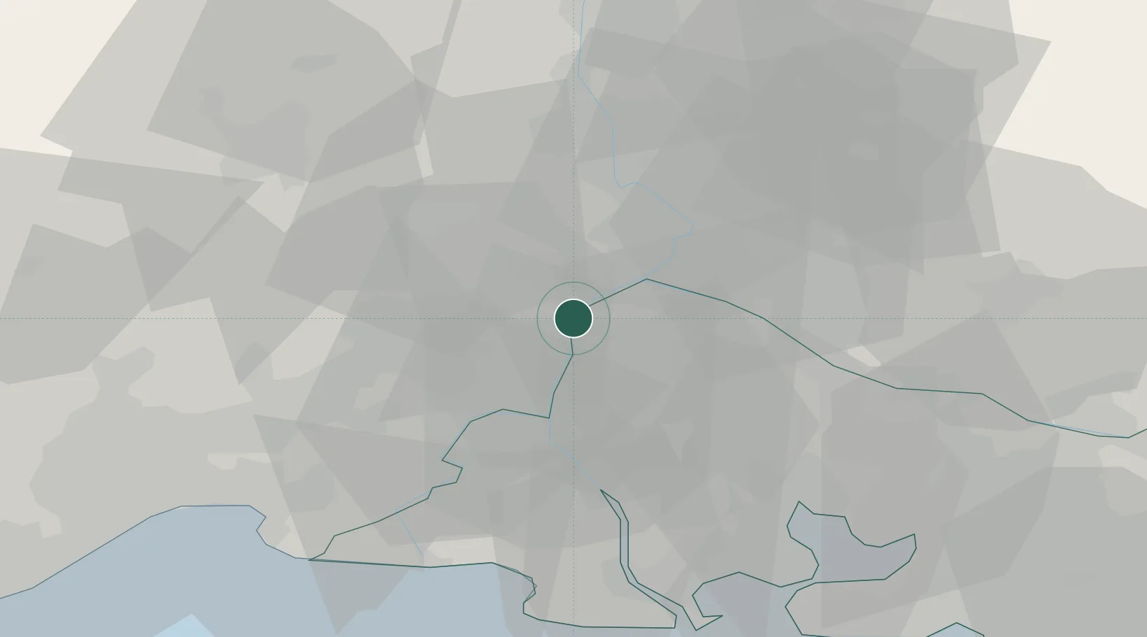
Nearby Logistics Neighbours

Cities
  1. 1Vallabrègues2 km
  2. 2Aramon4 km
  3. 3Montfrin4 km
  4. 4Théziers5 km
  5. 5Meynes7 km
Nearest neighbours — logibook spatial index (haversine) over the source coordinates
Ports
  1. 1Fos53 km
  2. 2Port Saint Louis Du Rhone55 km
  3. 3Port-de-Bouc58 km
  4. 4Marseille84 km
  5. 5Sete92 km
Nearest neighbours — logibook spatial index (haversine) over the source coordinates
Airports
  1. 1Avignon Caumont airport21 km
  2. 2Nîmes-Arles-Camargue Airport22 km
  3. 3Orange-Caritat (BA 115) Air Base35 km
  4. 4Istres-Le Tubé Air Base44 km
  5. 5Aérodrome d'Alès Cévennes47 km
Nearest neighbours — logibook spatial index (haversine) over the source coordinates
Trade Zones
  1. 1ZFU Avignon15 km
  2. 2ZFU Nîmes25 km
  3. 3ZFU Montpellier71 km
  4. 4ZFU Saint-Barthélémy, Le Canet, Delorme-Paternelle81 km
  5. 5ZFU Marseille 15e et 16e83 km
Nearest neighbours — logibook spatial index (haversine) over the source coordinates
DatabookThe Record of Consolidated Knowledge
France beyond logistics?
Browse databook

All Sources

LocationsUN/LOCODE
UN/LOCODE — free
Portsthe NGA World Port Index
Public domain (US gov)
AirportsOurAirports
Public domain
Trade Zonesthe World Bank SEZ database
CC BY 4.0
Trade ZonesOpen Zone Map
CC BY
← France locations