UN/LOCODE hub · France
FRAY2

Aydie

43.5667°, -1.0000°
148
Population
1
Transport functions

Transport Functions

Multimodal
UN/LOCODE

Hub Profile

Place type
Populated place
GeoNames
Region
Nouvelle-Aquitaine
GeoNames
Population
148
GeoNames
Time zone
Europe/Paris
GeoNames
Elevation
182 m
GeoNames

Location

Location of FRAY2
Natural Earth 10m (public domain) · Nouvelle-Aquitaine · FRAY2 · 43.57, -1.00GoogleOSMYandex

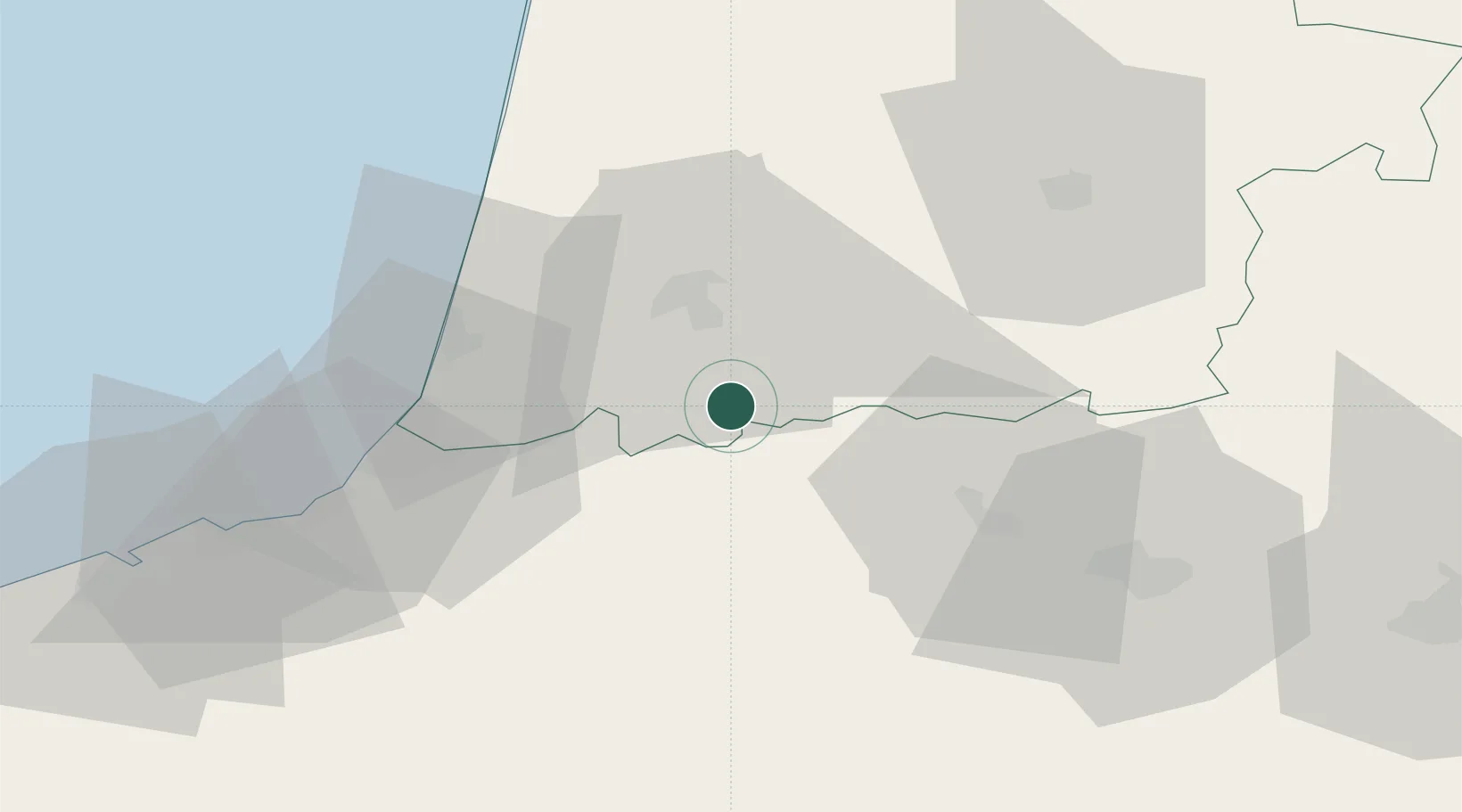
Nearby Logistics Neighbours

Cities
  1. 1Labatut2 km
  2. 2Lahontan5 km
  3. 3Cauneille7 km
  4. 4Pomarez15 km
  5. 5Dax15 km
Nearest neighbours — logibook spatial index (haversine) over the source coordinates
Ports
  1. 1Bayonne38 km
  2. 2Puerto De Pasajes80 km
  3. 3Bermeo140 km
  4. 4Bordeaux149 km
  5. 5Ambes166 km
Nearest neighbours — logibook spatial index (haversine) over the source coordinates
Airports
  1. 1Biarritz Pays Basque airport44 km
  2. 2Pau Pyrénées Airport51 km
  3. 3Mont-de-Marsan (BA 118) Air Base55 km
  4. 4San Sebastián Airport68 km
  5. 5Tarbes-Lourdes-Pyrénées Airport91 km
Nearest neighbours — logibook spatial index (haversine) over the source coordinates
Trade Zones
  1. 1Depósito Franco de Pasajes (Guipúzcoa)79 km
  2. 2ZFU Hauts de Garonne144 km
  3. 3Port de Bordeaux154 km
  4. 4Depósito Franco de Bilbao167 km
  5. 5ZFU Toulouse197 km
Nearest neighbours — logibook spatial index (haversine) over the source coordinates
DatabookThe Record of Consolidated Knowledge
France beyond logistics?
Browse databook

All Sources

LocationsUN/LOCODE
UN/LOCODE — free
LocationsGeoNames
CC BY 4.0
Portsthe NGA World Port Index
Public domain (US gov)
AirportsOurAirports
Public domain
Trade Zonesthe World Bank SEZ database
CC BY 4.0
Trade ZonesOpen Zone Map
CC BY
← France locations