UN/LOCODE hub · France
FRAV4

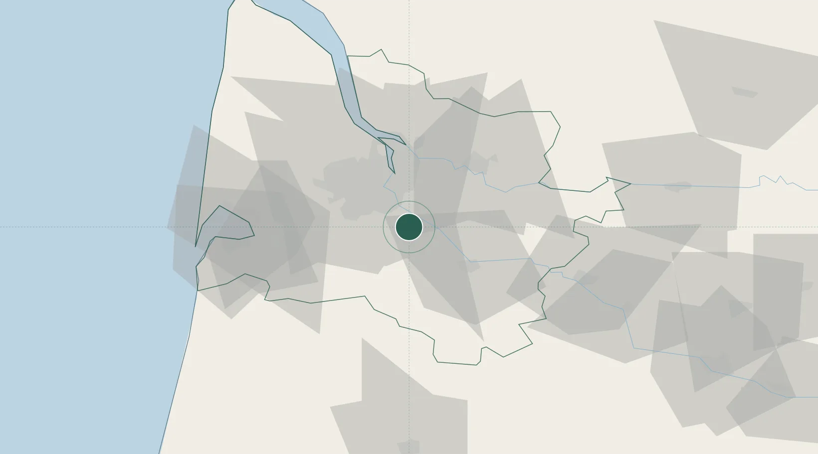
Ayguemorte-les-Graves

44.7000°, -0.4833°
1,057
Population
1
Transport functions

Transport Functions

Multimodal
UN/LOCODE

Hub Profile

Place type
Populated place
GeoNames
Region
Nouvelle-Aquitaine
GeoNames
Population
1,057
GeoNames
Time zone
Europe/Paris
GeoNames
Elevation
12 m
GeoNames

Location

Location of FRAV4
Natural Earth 10m (public domain) · Nouvelle-Aquitaine · FRAV4 · 44.70, -0.48GoogleOSMYandex

Nearby Logistics Neighbours

Cities
  1. 1Isle-Saint-Georges2 km
  2. 2Castres-Gironde3 km
  3. 3Saint-Selve4 km
  4. 4Quinsac6 km
  5. 5Cadaujac7 km
Nearest neighbours — logibook spatial index (haversine) over the source coordinates
Ports
  1. 1Bordeaux20 km
  2. 2Ambes35 km
  3. 3Blaye50 km
  4. 4Pauillac59 km
  5. 5Le Verdon104 km
Nearest neighbours — logibook spatial index (haversine) over the source coordinates
Airports
  1. 1Bordeaux–Mérignac Airport23 km
  2. 2Aérodrome d'Arcachon-La Teste-de-Buch51 km
  3. 3Cazaux (BA 120) Air Base54 km
  4. 4Bergerac Dordogne-Périgord airport80 km
  5. 5Mont-de-Marsan (BA 118) Air Base88 km
Nearest neighbours — logibook spatial index (haversine) over the source coordinates
Trade Zones
  1. 1ZFU Hauts de Garonne16 km
  2. 2Port de Bordeaux24 km
  3. 3ZFU La Rochelle172 km
  4. 4Depósito Franco de Pasajes (Guipúzcoa)192 km
  5. 5ZFU Toulouse196 km
Nearest neighbours — logibook spatial index (haversine) over the source coordinates
DatabookThe Record of Consolidated Knowledge
France beyond logistics?
Browse databook

All Sources

LocationsUN/LOCODE
UN/LOCODE — free
LocationsGeoNames
CC BY 4.0
Portsthe NGA World Port Index
Public domain (US gov)
AirportsOurAirports
Public domain
Trade Zonesthe World Bank SEZ database
CC BY 4.0
Trade ZonesOpen Zone Map
CC BY
← France locations