UN/LOCODE hub · France
FRAU3

Aurons

43.6667°, 5.1500°
541
Population
1
Transport functions

Transport Functions

Multimodal
UN/LOCODE

Hub Profile

Place type
Populated place
GeoNames
Region
Provence-Alpes-Côte d'Azur
GeoNames
Population
541
GeoNames
Time zone
Europe/Paris
GeoNames
Elevation
238 m
GeoNames

Location

Location of FRAU3
Natural Earth 10m (public domain) · Provence-Alpes-Côte d'Azur · FRAU3 · 43.67, 5.15GoogleOSMYandex

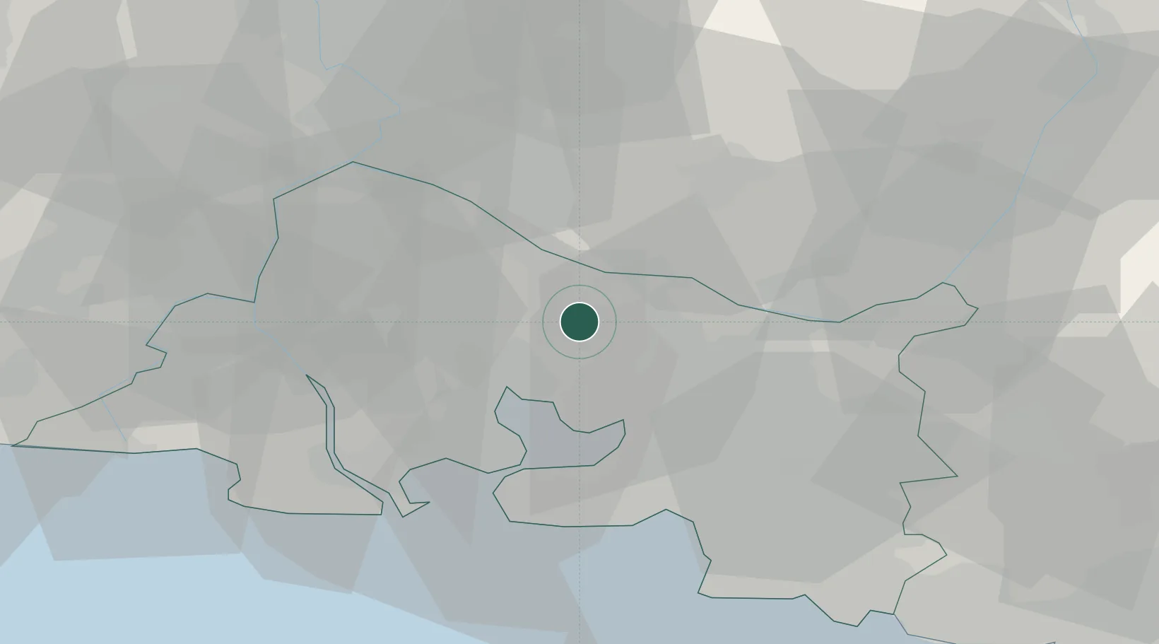
Nearby Logistics Neighbours

Cities
  1. 1Vernègues2 km
  2. 2Pélissanne4 km
  3. 3Salon-de-Provence6 km
  4. 4Mérindol10 km
  5. 5La Fare-les-Oliviers13 km
Nearest neighbours — logibook spatial index (haversine) over the source coordinates
Ports
  1. 1Port-de-Bouc33 km
  2. 2Fos35 km
  3. 3Port Saint Louis Du Rhone41 km
  4. 4Marseille43 km
  5. 5Toulon88 km
Nearest neighbours — logibook spatial index (haversine) over the source coordinates
Airports
  1. 1Salon-de-Provence (BA 701) Air Base8 km
  2. 2Istres-Le Tubé Air Base24 km
  3. 3Marseille Provence Airport26 km
  4. 4Avignon Caumont airport33 km
  5. 5Orange-Caritat (BA 115) Air Base57 km
Nearest neighbours — logibook spatial index (haversine) over the source coordinates
Trade Zones
  1. 1ZFU Marseille 15e et 16e41 km
  2. 2ZFU Avignon42 km
  3. 3ZFU Saint-Barthélémy, Le Canet, Delorme-Paternelle44 km
  4. 4ZFU Nîmes67 km
  5. 5ZFU La Seyne-sur-Mer86 km
Nearest neighbours — logibook spatial index (haversine) over the source coordinates
DatabookThe Record of Consolidated Knowledge
France beyond logistics?
Browse databook

All Sources

LocationsUN/LOCODE
UN/LOCODE — free
LocationsGeoNames
CC BY 4.0
Portsthe NGA World Port Index
Public domain (US gov)
AirportsOurAirports
Public domain
Trade Zonesthe World Bank SEZ database
CC BY 4.0
Trade ZonesOpen Zone Map
CC BY
← France locations