Transport Functions
Multimodal
Hub Profile
Place type
Populated place
Region
Occitanie
Population
808
Time zone
Europe/Paris
Elevation
128 m
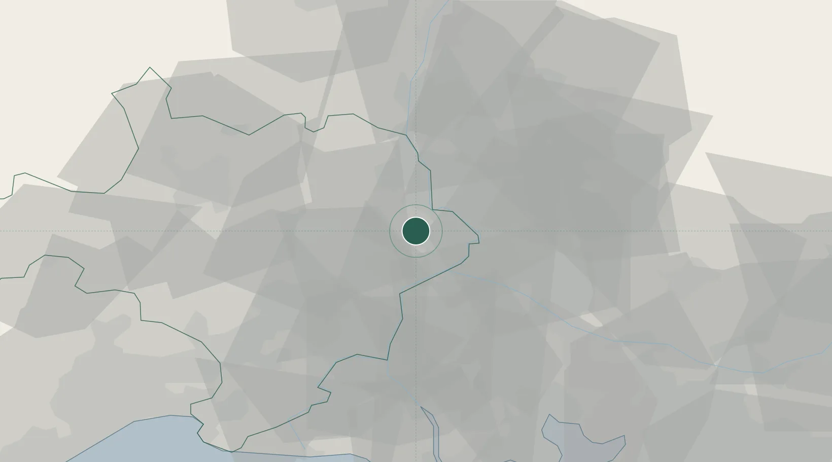
Location
Nearby Logistics Neighbours
Cities
- 1Saint-Laurent-des-Arbres2 km
- 2Rochefort-du-Gard6 km
- 3Montfaucon7 km
- 4l'Ardoise8 km
- 5Pujaut8 km
Ports
- 1Fos70 km
- 2Port Saint Louis Du Rhone73 km
- 3Port-de-Bouc74 km
- 4Marseille97 km
- 5Sete106 km
Airports
Trade Zones
- 1ZFU Avignon13 km
- 2ZFU Nîmes36 km
- 3ZFU Montpellier82 km
- 4ZFU Saint-Barthélémy, Le Canet, Delorme-Paternelle95 km
- 5ZFU Marseille 15e et 16e95 km
DatabookThe Record of Consolidated Knowledge
France beyond logistics?