UN/LOCODE hub · France
FR4MF

Montfaucon

44.0667°, 4.7500°
1,300
Population
1
Transport functions

Transport Functions

Multimodal
UN/LOCODE

Hub Profile

Place type
Populated place
GeoNames
Region
Occitanie
GeoNames
Population
1,300
GeoNames
Time zone
Europe/Paris
GeoNames
Elevation
34 m
GeoNames

Location

Location of FR4MF
Natural Earth 10m (public domain) · Occitanie · FR4MF · 44.07, 4.75GoogleOSMYandex

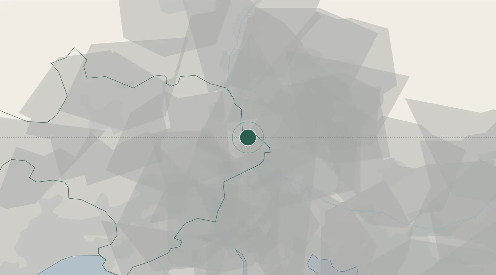
Nearby Logistics Neighbours

Cities
  1. 1Caderousse4 km
  2. 2Saint-Laurent-des-Arbres4 km
  3. 3l'Ardoise5 km
  4. 4Lirac7 km
  5. 5Pujaut8 km
Nearest neighbours — logibook spatial index (haversine) over the source coordinates
Ports
  1. 1Fos73 km
  2. 2Port Saint Louis Du Rhone76 km
  3. 3Port-de-Bouc77 km
  4. 4Marseille97 km
  5. 5Sete112 km
Nearest neighbours — logibook spatial index (haversine) over the source coordinates
Airports
  1. 1Orange-Caritat (BA 115) Air Base12 km
  2. 2Avignon Caumont airport22 km
  3. 3Nîmes-Arles-Camargue Airport44 km
  4. 4Aérodrome d'Alès Cévennes49 km
  5. 5Salon-de-Provence (BA 701) Air Base59 km
Nearest neighbours — logibook spatial index (haversine) over the source coordinates
Trade Zones
  1. 1ZFU Avignon14 km
  2. 2ZFU Nîmes42 km
  3. 3ZFU Montpellier89 km
  4. 4ZFU Marseille 15e et 16e95 km
  5. 5ZFU Valence96 km
Nearest neighbours — logibook spatial index (haversine) over the source coordinates
DatabookThe Record of Consolidated Knowledge
France beyond logistics?
Browse databook

All Sources

LocationsUN/LOCODE
UN/LOCODE — free
LocationsGeoNames
CC BY 4.0
Portsthe NGA World Port Index
Public domain (US gov)
AirportsOurAirports
Public domain
Trade Zonesthe World Bank SEZ database
CC BY 4.0
Trade ZonesOpen Zone Map
CC BY
← France locations