Transport Functions
Port
Rail
Road
Hub Profile
Place type
Populated place
Region
Occitanie
Time zone
Europe/Paris
Elevation
34 m
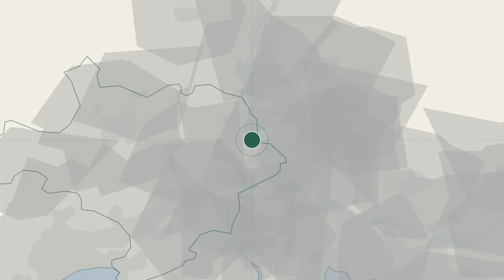
Location
Nearby Logistics Neighbours
Cities
- 1Caderousse4 km
- 2Orsan5 km
- 3Montfaucon5 km
- 4Saint-Laurent-des-Arbres6 km
- 5Chusclan6 km
Ports
- 1Fos77 km
- 2Port Saint Louis Du Rhone80 km
- 3Port-de-Bouc81 km
- 4Marseille102 km
- 5Sete112 km
Airports
Trade Zones
- 1ZFU Avignon19 km
- 2ZFU Nîmes42 km
- 3ZFU Montpellier88 km
- 4ZFU Valence92 km
- 5ZFU Marseille 15e et 16e101 km
DatabookThe Record of Consolidated Knowledge
France beyond logistics?