UN/LOCODE hub · France
FRZHA
Rochefort-du-Gard
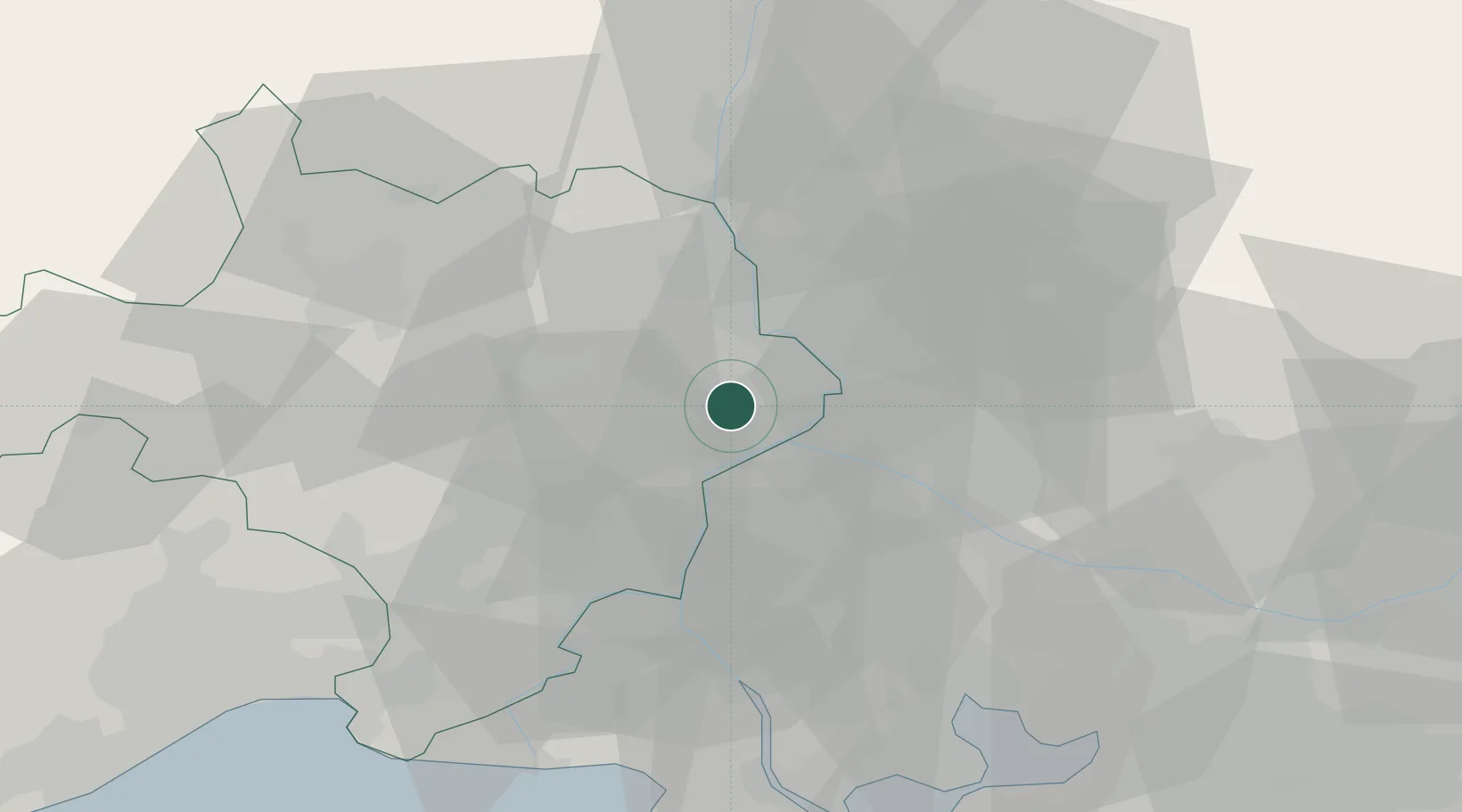
43.9833°, 4.6833°
6,303
Population
2
Transport functions
Transport Functions
Port
Multimodal
Hub Profile
Place type
Populated place
Region
Occitanie
Population
6,303
Time zone
Europe/Paris
Elevation
115 m
Location
Nearby Logistics Neighbours
Cities
- 1Lirac6 km
- 2Saze6 km
- 3Pujaut7 km
- 4Les Angles7 km
- 5Saint-Laurent-des-Arbres8 km
Ports
- 1Fos65 km
- 2Port Saint Louis Du Rhone68 km
- 3Port-de-Bouc69 km
- 4Marseille92 km
- 5Sete102 km
Airports
Trade Zones
- 1ZFU Avignon10 km
- 2ZFU Nîmes32 km
- 3ZFU Montpellier79 km
- 4ZFU Saint-Barthélémy, Le Canet, Delorme-Paternelle90 km
- 5ZFU Marseille 15e et 16e91 km
DatabookThe Record of Consolidated Knowledge
France beyond logistics?