Transport Functions
Multimodal
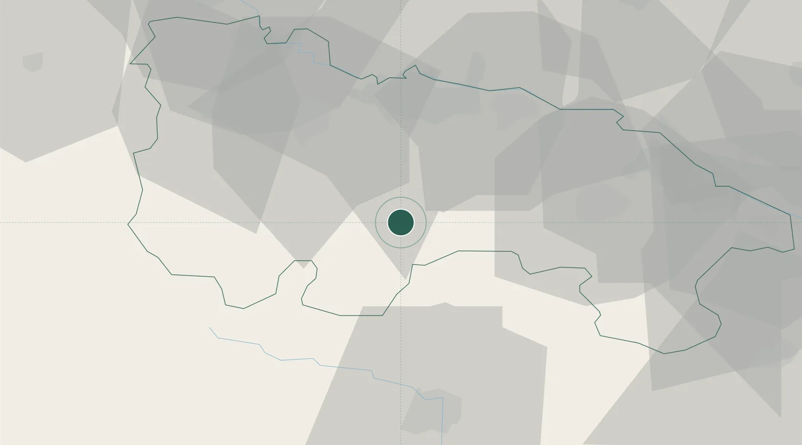
Hub Profile
Place type
Populated place
Region
Catalonia
Population
257
Time zone
Europe/Madrid
Elevation
399 m
Location
Nearby Logistics Neighbours
Cities
- 1Viguera11 km
- 2Sorzano15 km
- 3Nalda15 km
- 4Albelda de Iregua19 km
- 5Entrena20 km
Ports
- 1Puerto De Bilbao135 km
- 2Puerto De Pasajes135 km
- 3Bermeo136 km
- 4Bayonne169 km
- 5Santander174 km
Airports
- 1Logroño-Agoncillo Airport34 km
- 2Vitoria Airport78 km
- 3Burgos Airport91 km
- 4Pamplona Airport97 km
- 5Bilbao Airport126 km
Trade Zones
DatabookThe Record of Consolidated Knowledge
Spain beyond logistics?