Transport Functions
Multimodal
Hub Profile
Place type
District seat
Region
La Rioja
Population
1,519
Time zone
Europe/Madrid
Elevation
554 m
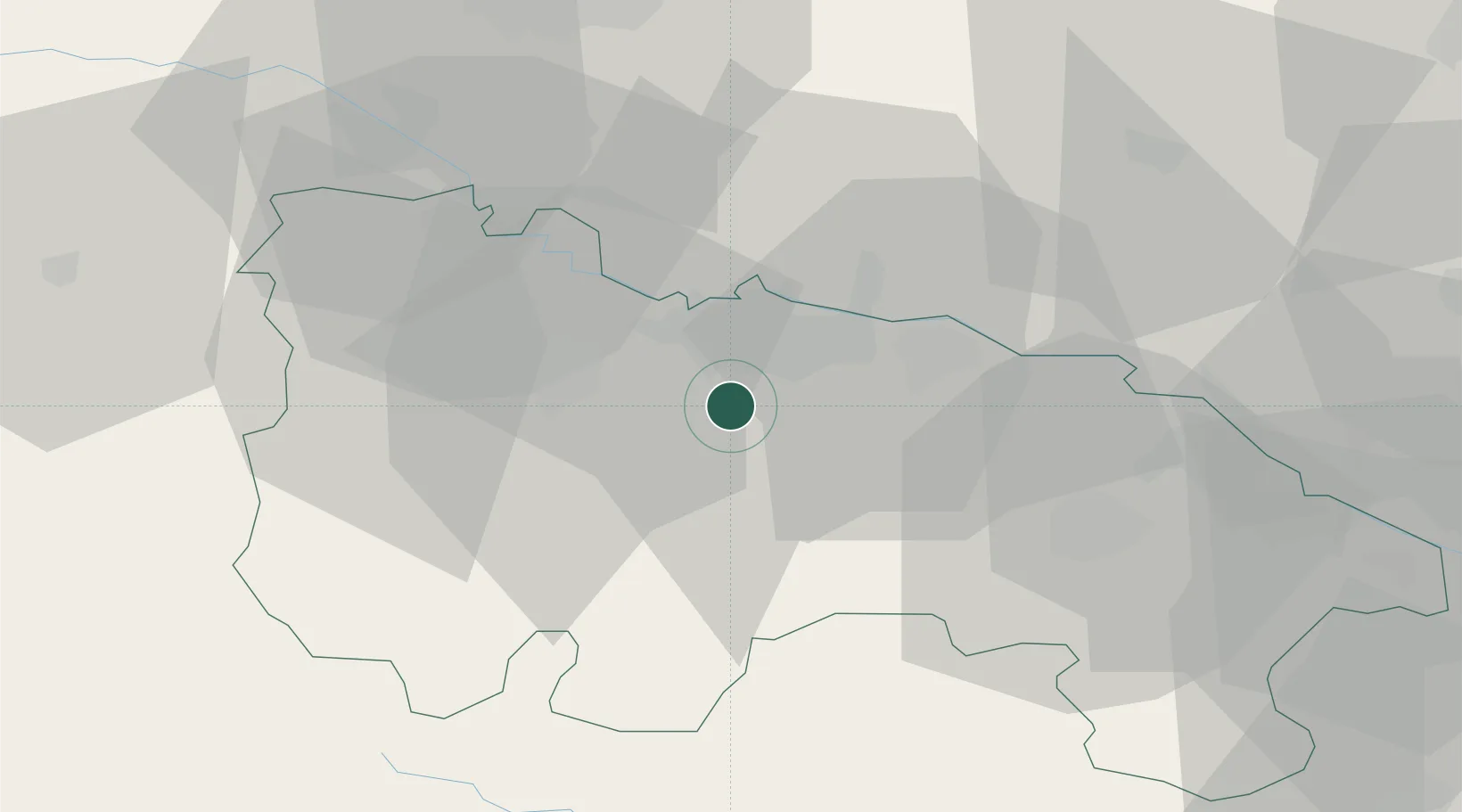
Location
Nearby Logistics Neighbours
Cities
- 1Sorzano6 km
- 2Albelda de Iregua6 km
- 3Nalda7 km
- 4Viguera9 km
- 5Cenicero12 km
Ports
- 1Puerto De Bilbao115 km
- 2Bermeo116 km
- 3Puerto De Pasajes116 km
- 4Bayonne152 km
- 5Santander158 km
Airports
- 1Logroño-Agoncillo Airport19 km
- 2Vitoria Airport58 km
- 3Pamplona Airport84 km
- 4Burgos Airport89 km
- 5Bilbao Airport107 km
Trade Zones
DatabookThe Record of Consolidated Knowledge
Spain beyond logistics?