Transport Functions
Road
Multimodal
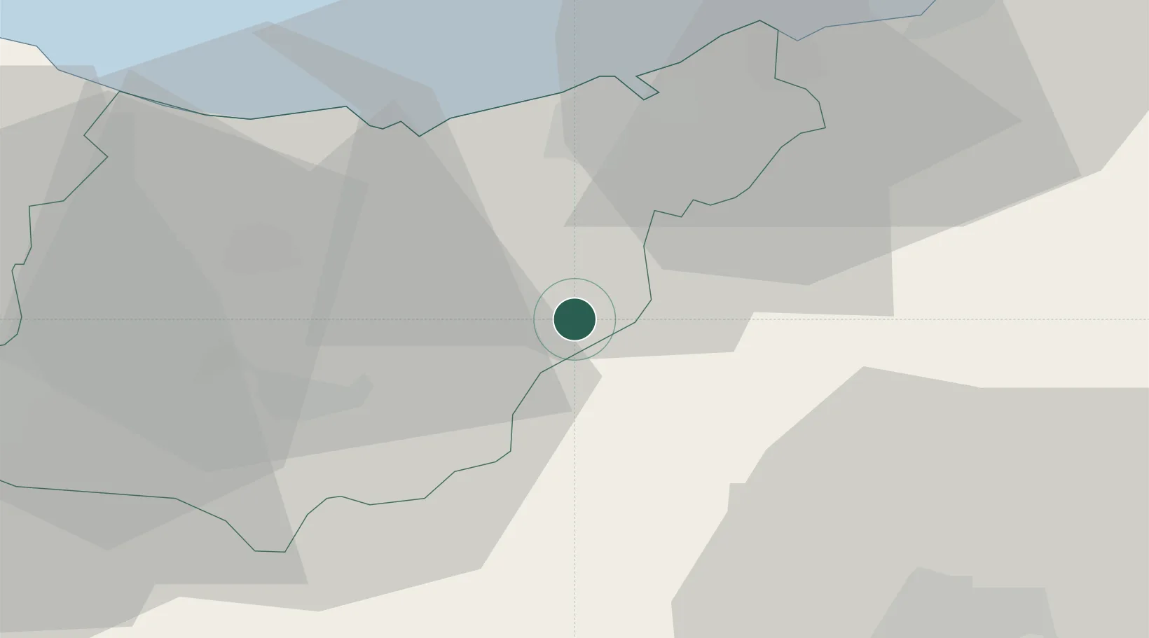
Hub Profile
Place type
District seat
Region
Basque Country
Time zone
Europe/Madrid
Elevation
402 m
Location
Nearby Logistics Neighbours
Ports
- 1Puerto De Pasajes24 km
- 2Bayonne60 km
- 3Bermeo68 km
- 4Puerto De Bilbao90 km
- 5Santander151 km
Airports
- 1San Sebastián Airport31 km
- 2Pamplona Airport47 km
- 3Biarritz Pays Basque airport54 km
- 4Vitoria Airport66 km
- 5Bilbao Airport78 km
Trade Zones
DatabookThe Record of Consolidated Knowledge
Spain beyond logistics?