Transport Functions
Road
Multimodal
Hub Profile
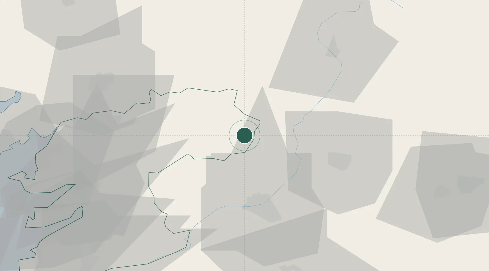
Place type
District seat
Region
Galicia
Population
3,376
Time zone
Europe/Madrid
Elevation
656 m
Location
Nearby Logistics Neighbours
Cities
- 1Cangas17 km
- 2Silleda25 km
- 3Carballiño27 km
- 4Melide28 km
- 5Gustey30 km
Ports
- 1Villagarcia De Arosa68 km
- 2Marin69 km
- 3Vigo79 km
- 4La Coruna88 km
- 5Ferrol96 km
Airports
- 1Santiago-Rosalía de Castro Airport48 km
- 2Vigo Airport74 km
- 3A Coruña Airport81 km
- 4Braga Municipal Aerodrome126 km
- 5Bragança Airport134 km
Trade Zones
DatabookThe Record of Consolidated Knowledge
Spain beyond logistics?