Transport Functions
Port
Road
Hub Profile
Place type
Populated place
Region
Asturias
Time zone
Europe/Madrid
Elevation
50 m
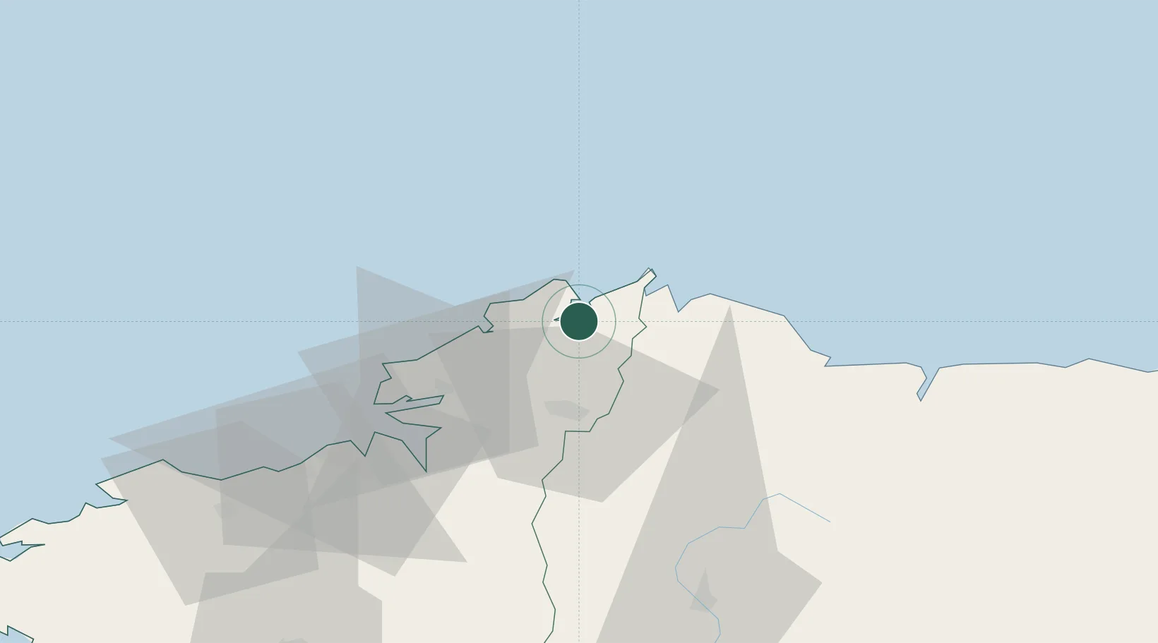
Location
Nearby Logistics Neighbours
Ports
- 1San Ciprian34 km
- 2Ferrol37 km
- 3La Coruna56 km
- 4Ribadeo67 km
- 5Villagarcia De Arosa140 km
Airports
- 1A Coruña Airport59 km
- 2Santiago-Rosalía de Castro Airport97 km
- 3Asturias Airport147 km
- 4Vigo Airport172 km
- 5León Int'l Airport215 km
Trade Zones
- 1Depósito Franco de La Coruña56 km
- 2Depósito Franco de Gijón174 km
- 3Zona Franca de Vigo176 km
- 4Zona Livre Tecnológica Masotinhos285 km
- 5VGP Park Santa Maria da Feira310 km
DatabookThe Record of Consolidated Knowledge
Spain beyond logistics?