Transport Functions
Port
Rail
Road
Hub Profile
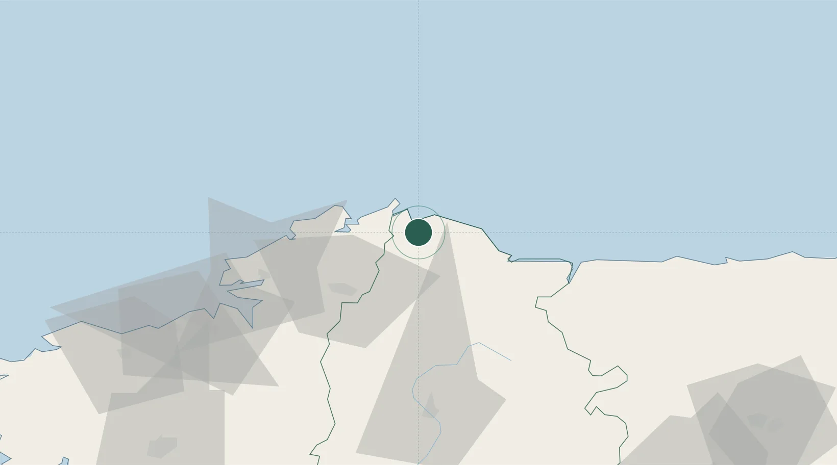
Place type
District seat
Region
Galicia
Population
16,238
Time zone
Europe/Madrid
Elevation
30 m
Location
Nearby Logistics Neighbours
Cities
- 1Ortigueira20 km
- 2Cariño23 km
- 3Mourente29 km
- 4Foz30 km
- 5As Pontes32 km
Ports
- 1San Ciprian14 km
- 2Ribadeo48 km
- 3Ferrol55 km
- 4La Coruna73 km
- 5Aviles134 km
Airports
- 1A Coruña Airport75 km
- 2Santiago-Rosalía de Castro Airport108 km
- 3Asturias Airport127 km
- 4Vigo Airport180 km
- 5León Int'l Airport198 km
Trade Zones
- 1Depósito Franco de La Coruña73 km
- 2Depósito Franco de Gijón154 km
- 3Zona Franca de Vigo186 km
- 4Zona Livre Tecnológica Masotinhos291 km
- 5Zona Franca de Santander306 km
DatabookThe Record of Consolidated Knowledge
Spain beyond logistics?