UN/LOCODE hub · Spain
ESLEC

Lecumberri

43.0000°, -1.8833°
4
Transport functions

Transport Functions

Port
Rail
Road
Multimodal
UN/LOCODE

Hub Profile

Region
NA
GeoNames

Location

Location of ESLEC
Natural Earth 10m (public domain) · NA · ESLEC · 43.00, -1.88GoogleOSMYandex

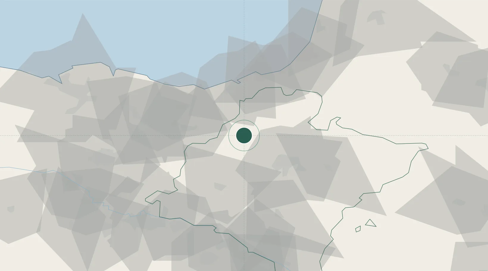
Nearby Logistics Neighbours

Cities
  1. 1Lekunberri0 km
  2. 2Leiza10 km
  3. 3Huarte Araquil12 km
  4. 4Berastegui15 km
  5. 5Eguillor18 km
Nearest neighbours — logibook spatial index (haversine) over the source coordinates
Ports
  1. 1Puerto De Pasajes37 km
  2. 2Bayonne65 km
  3. 3Bermeo82 km
  4. 4Puerto De Bilbao102 km
  5. 5Santander162 km
Nearest neighbours — logibook spatial index (haversine) over the source coordinates
Airports
  1. 1Pamplona Airport32 km
  2. 2San Sebastián Airport40 km
  3. 3Biarritz Pays Basque airport60 km
  4. 4Vitoria Airport70 km
  5. 5Logroño-Agoncillo Airport70 km
Nearest neighbours — logibook spatial index (haversine) over the source coordinates
Trade Zones
  1. 1Depósito Franco de Pasajes (Guipúzcoa)36 km
  2. 2Depósito Franco de Bilbao101 km
  3. 3Zona Franca de Santander164 km
  4. 4Depósito Franco de Villafría (Burgos)166 km
  5. 5Depósito Franco de Zaragoza177 km
Nearest neighbours — logibook spatial index (haversine) over the source coordinates
DatabookThe Record of Consolidated Knowledge
Spain beyond logistics?
Browse databook

All Sources

LocationsUN/LOCODE
UN/LOCODE — free
Portsthe NGA World Port Index
Public domain (US gov)
AirportsOurAirports
Public domain
Trade Zonesthe World Bank SEZ database
CC BY 4.0
Trade ZonesOpen Zone Map
CC BY
← Spain locations