UN/LOCODE hub · Spain
ESDMS

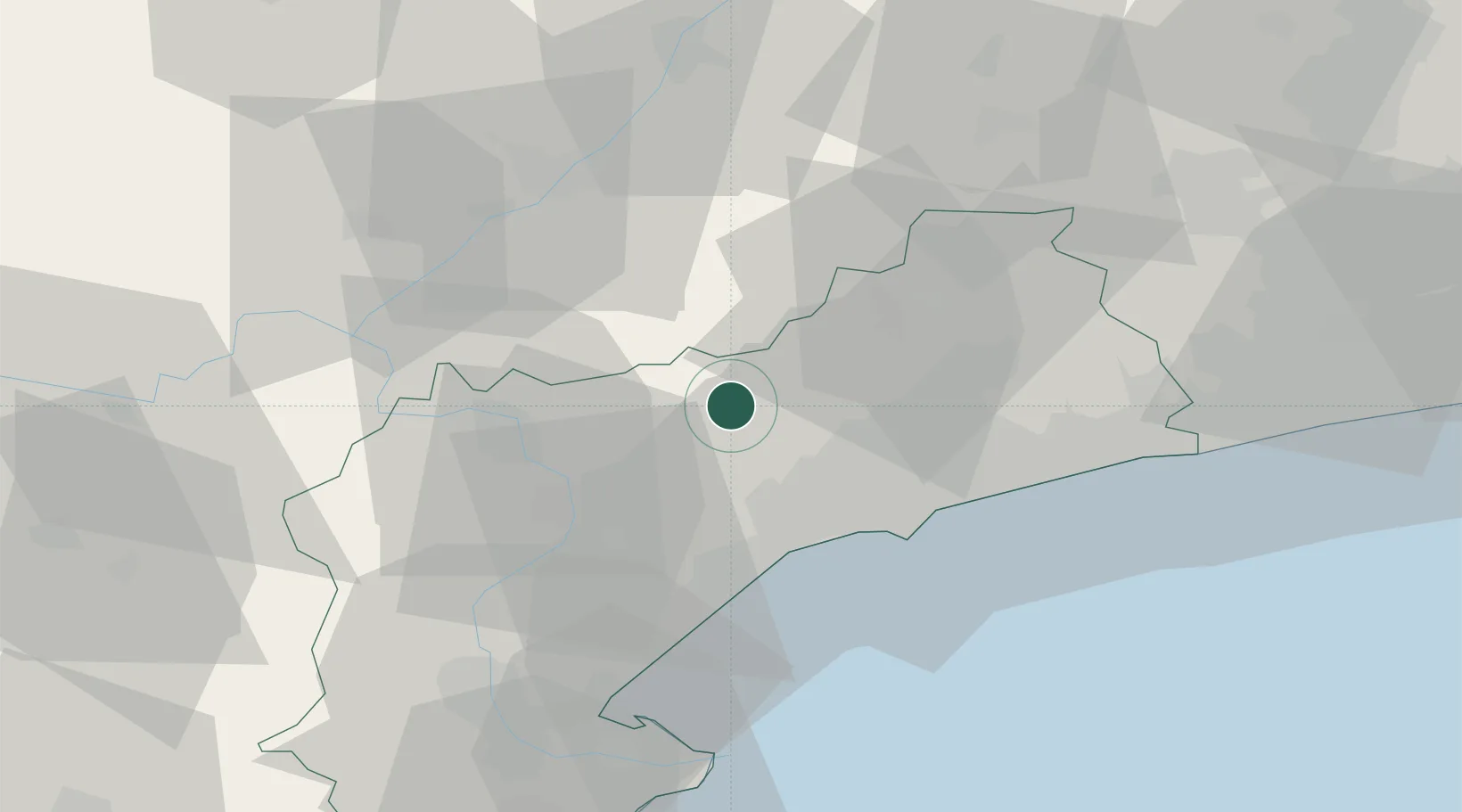
Cornudella de Montsant

41.2667°, 0.9000°
981
Population
1
Transport functions

Transport Functions

Multimodal
UN/LOCODE

Hub Profile

Place type
Populated place
GeoNames
Region
Catalonia
GeoNames
Population
981
GeoNames
Time zone
Europe/Madrid
GeoNames
Elevation
542 m
GeoNames

Location

Location of ESDMS
Natural Earth 10m (public domain) · Catalonia · ESDMS · 41.27, 0.90GoogleOSMYandex

Nearby Logistics Neighbours

Cities
  1. 1Riudecols13 km
  2. 2Les Borges del Camp15 km
  3. 3Riudecanyes17 km
  4. 4Castellvell del Camp19 km
  5. 5La Selva Del Campo20 km
Nearest neighbours — logibook spatial index (haversine) over the source coordinates
Ports
  1. 1Tarragona34 km
  2. 2Villanueva Y Geltru70 km
  3. 3Barcelona106 km
  4. 4El Grao163 km
  5. 5Burriana174 km
Nearest neighbours — logibook spatial index (haversine) over the source coordinates
Airports
  1. 1Reus Airport26 km
  2. 2Lleida-Alguaire Airport60 km
  3. 3Josep Tarradellas Barcelona-El Prat Airport99 km
  4. 4Pirineus - la Seu d'Urgel Airport126 km
  5. 5Castellón-Costa Azahar Airport136 km
Nearest neighbours — logibook spatial index (haversine) over the source coordinates
Trade Zones
  1. 1Depósito Franco de Tarragona34 km
  2. 2Zona Franca de Barcelona102 km
  3. 3Depósito Franco de Zaragoza145 km
  4. 4Depósito Franco de Valencia227 km
  5. 5ZFU Perpignan229 km
Nearest neighbours — logibook spatial index (haversine) over the source coordinates
DatabookThe Record of Consolidated Knowledge
Spain beyond logistics?
Browse databook

All Sources

LocationsUN/LOCODE
UN/LOCODE — free
LocationsGeoNames
CC BY 4.0
Portsthe NGA World Port Index
Public domain (US gov)
AirportsOurAirports
Public domain
Trade Zonesthe World Bank SEZ database
CC BY 4.0
Trade ZonesOpen Zone Map
CC BY
← Spain locations