UN/LOCODE hub · Spain
ESTG2
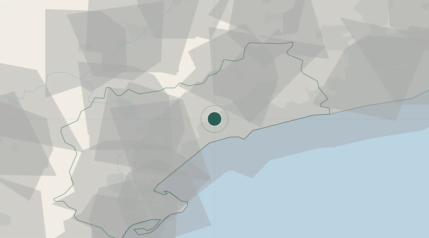
Les Borges del Camp
41.1667°, 1.0167°
1,842
Population
2
Transport functions
Transport Functions
Port
Multimodal
Hub Profile
Place type
Populated place
Region
Catalonia
Population
1,842
Time zone
Europe/Madrid
Elevation
217 m
Location
Nearby Logistics Neighbours
Cities
- 1Riudecols3 km
- 2Castellvell del Camp6 km
- 3Riudecanyes8 km
- 4La Selva del Camp10 km
- 5La Selva Del Campo11 km
Ports
- 1Tarragona20 km
- 2Villanueva Y Geltru60 km
- 3Barcelona98 km
- 4El Grao158 km
- 5Burriana169 km
Airports
Trade Zones
- 1Depósito Franco de Tarragona20 km
- 2Zona Franca de Barcelona94 km
- 3Depósito Franco de Zaragoza158 km
- 4Depósito Franco de Valencia222 km
- 5ZFU Perpignan231 km
DatabookThe Record of Consolidated Knowledge
Spain beyond logistics?