Transport Functions
Road
Multimodal
Hub Profile
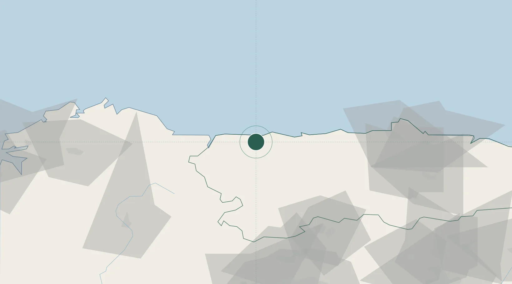
Place type
District seat
Region
Asturias
Population
3,440
Time zone
Europe/Madrid
Elevation
71 m
Location
Nearby Logistics Neighbours
Cities
- 1Jarrio2 km
- 2Anleo5 km
- 3Puerto de Vega11 km
- 4Castropol23 km
- 5Foz41 km
Ports
- 1Ribadeo23 km
- 2San Ciprian59 km
- 3Aviles67 km
- 4Gijon87 km
- 5Ferrol120 km
Airports
- 1Asturias Airport58 km
- 2A Coruña Airport134 km
- 3León Int'l Airport136 km
- 4Santiago-Rosalía de Castro Airport152 km
- 5Bragança Airport185 km
Trade Zones
- 1Depósito Franco de Gijón85 km
- 2Depósito Franco de La Coruña134 km
- 3Zona Franca de Vigo217 km
- 4Zona Franca de Santander237 km
- 5Depósito Franco de Villafría (Burgos)277 km
DatabookThe Record of Consolidated Knowledge
Spain beyond logistics?