Transport Functions
Road
Multimodal
Hub Profile
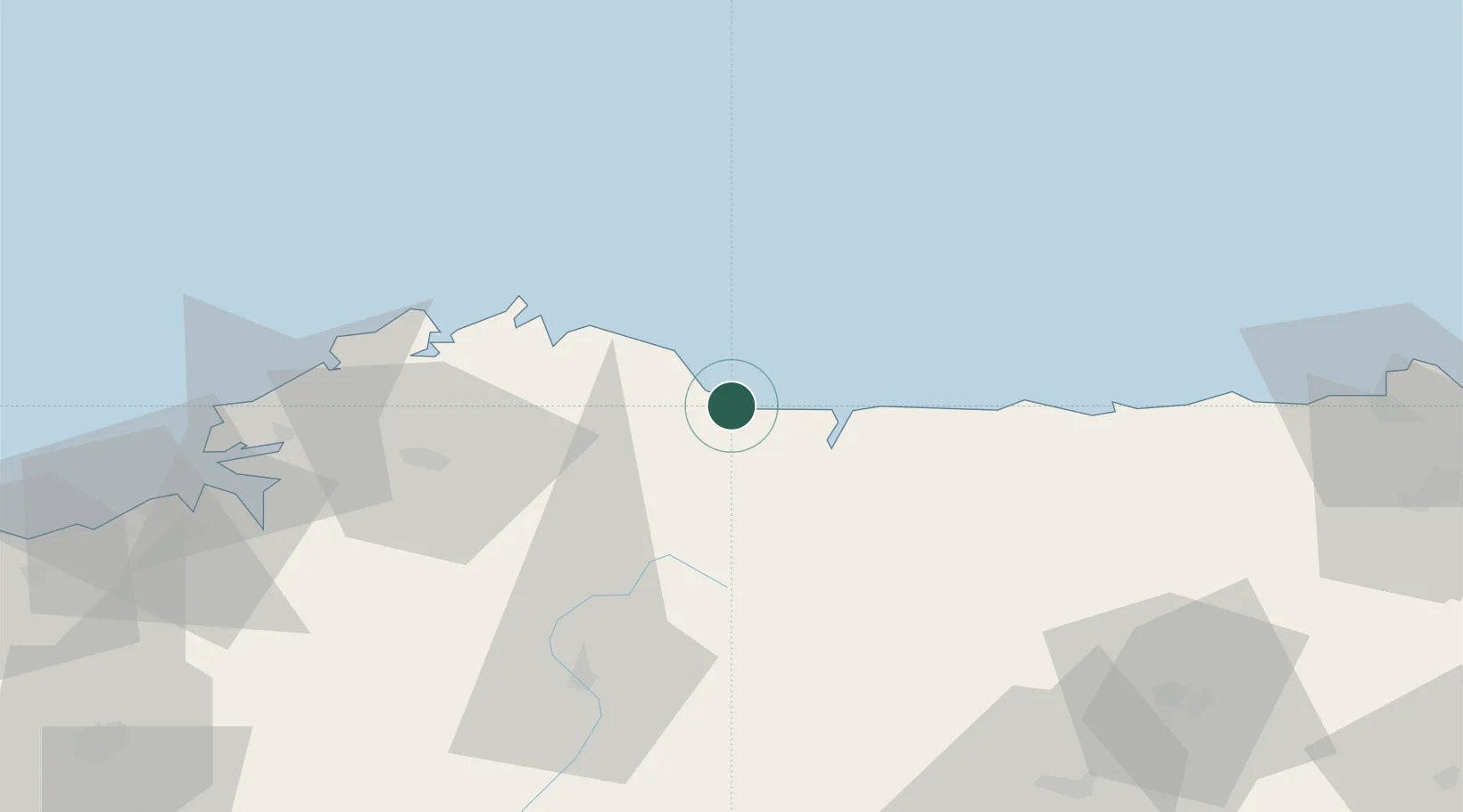
Place type
Populated place
Region
Galicia
Population
9,642
Time zone
Europe/Madrid
Elevation
19 m
Location
Nearby Logistics Neighbours
Ports
- 1Ribadeo18 km
- 2San Ciprian21 km
- 3Ferrol80 km
- 4La Coruna95 km
- 5Aviles106 km
Airports
- 1A Coruña Airport96 km
- 2Asturias Airport98 km
- 3Santiago-Rosalía de Castro Airport120 km
- 4León Int'l Airport169 km
- 5Vigo Airport186 km
Trade Zones
- 1Depósito Franco de La Coruña95 km
- 2Depósito Franco de Gijón125 km
- 3Zona Franca de Vigo193 km
- 4Zona Franca de Santander277 km
- 5Zona Livre Tecnológica Masotinhos291 km
DatabookThe Record of Consolidated Knowledge
Spain beyond logistics?