Transport Functions
Port
Road
Hub Profile
Place type
Populated place
Region
Boumerdes
Population
26,384
Time zone
Africa/Algiers
Elevation
63 m
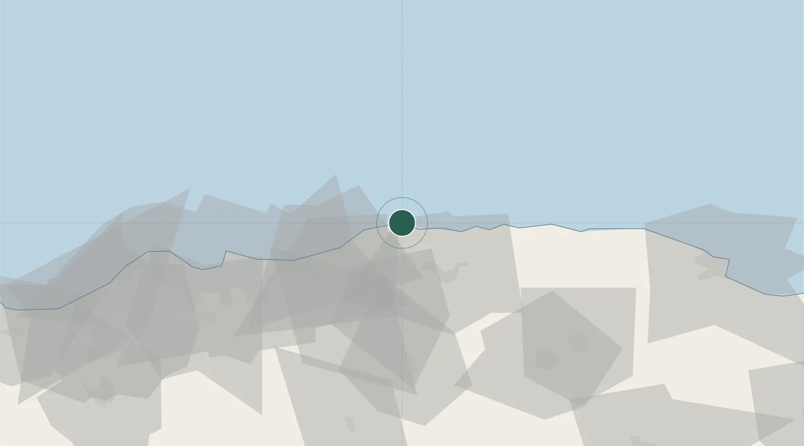
Location
Nearby Logistics Neighbours
Cities
- 1Bordj Menaïel26 km
- 2Ouled Haddadj52 km
- 3Ain Taya55 km
- 4Rouiba57 km
- 5El Hamiz61 km
Airports
- 1Houari Boumediene Airport65 km
- 2Boufarik Air Base99 km
- 3Blida Airport106 km
- 4Soummam–Abane Ramdane Airport108 km
- 5Ain Arnat Airport153 km
Trade Zones
- 1Depósito Franco de Alicante416 km
- 2Depósito Franco de Valencia463 km
- 3Free Zone of Portovesme470 km
- 4Zona Franca de Barcelona514 km
- 5Depósito Franco de Tarragona519 km
DatabookThe Record of Consolidated Knowledge
Algeria beyond logistics?