Transport Functions
Port
Road
Hub Profile
Place type
Populated place
Region
Zealand
Time zone
Europe/Copenhagen
Elevation
0 m
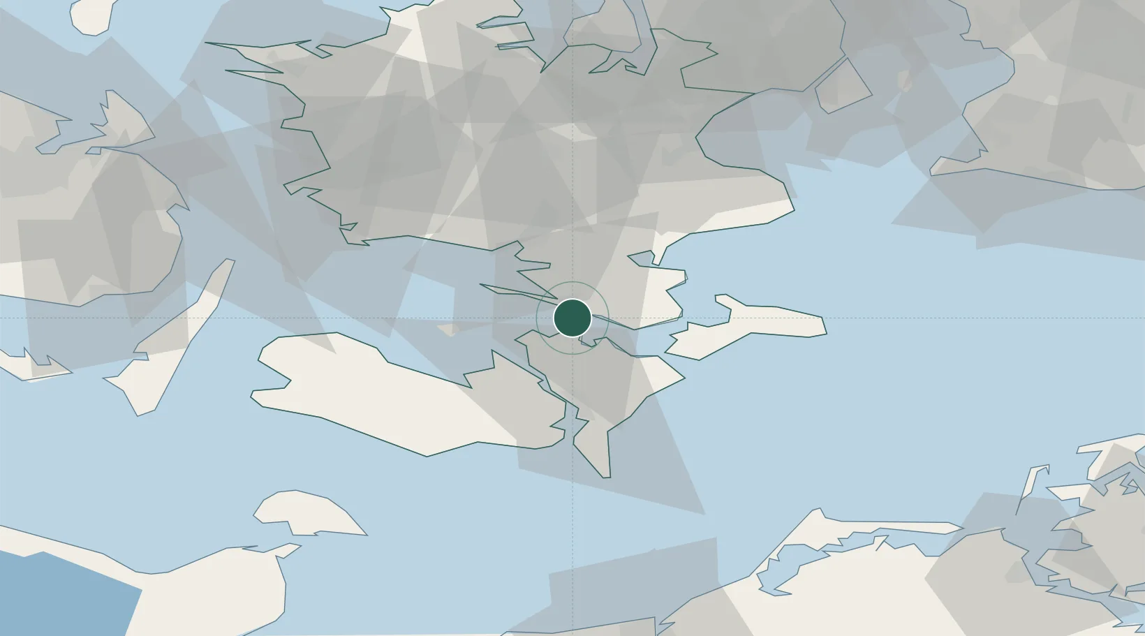
Location
Nearby Logistics Neighbours
Cities
Ports
- 1Vordingborg2 km
- 2Stubbekobing18 km
- 3Nykobing26 km
- 4Stege27 km
- 5Sakskobing27 km
Airports
Trade Zones
- 1Freeport of Copenhagen- Nordhavn92 km
- 2MTS Malmö Transport and Spedition103 km
- 3Freeport of Kiel132 km
- 4Swinoujscie Duty Free Zone198 km
- 5Szczecin Duty Free Zone249 km
DatabookThe Record of Consolidated Knowledge
Denmark beyond logistics?