UN/LOCODE hub · Denmark
DKDAL

Dalmose

55.2833°, 11.4167°
2
Transport functions

Transport Functions

Rail
Road
UN/LOCODE

Hub Profile

Place type
Populated place
GeoNames
Region
Zealand
GeoNames
Time zone
Europe/Copenhagen
GeoNames
Elevation
29 m
GeoNames

Location

Location of DKDAL
Natural Earth 10m (public domain) · Zealand · DKDAL · 55.28, 11.42GoogleOSMYandex

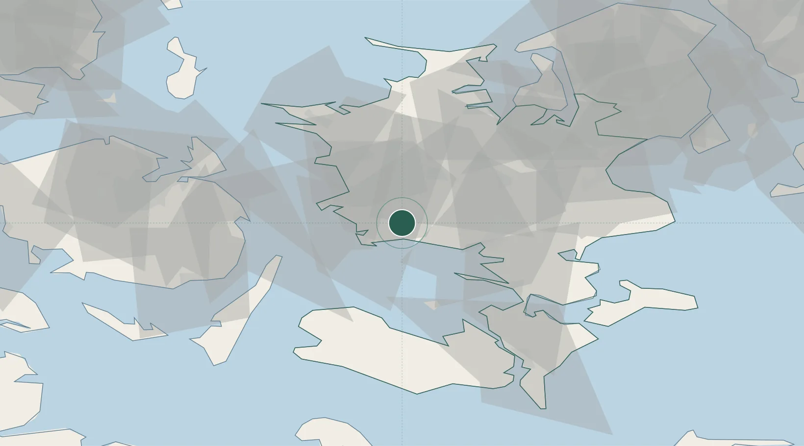
Nearby Logistics Neighbours

Cities
  1. 1Sønder Bjert4 km
  2. 2Sandved8 km
  3. 3Vemmelev13 km
  4. 4Stigsnaes Inter Terminal15 km
  5. 5Broby Overdrev17 km
Nearest neighbours — logibook spatial index (haversine) over the source coordinates
Ports
  1. 1Skaelskor8 km
  2. 2Gulfhaven13 km
  3. 3Stigsnaesvaerkets Havn14 km
  4. 4Korsor19 km
  5. 5Naestved22 km
Nearest neighbours — logibook spatial index (haversine) over the source coordinates
Airports
  1. 1Ringsted Airfield29 km
  2. 2Copenhagen Roskilde Airport56 km
  3. 3Sydfyn (Tasinge) Airfield62 km
  4. 4Lolland Falster Maribo Airport65 km
  5. 5Odense Hans Christian Andersen Airport72 km
Nearest neighbours — logibook spatial index (haversine) over the source coordinates
Trade Zones
  1. 1Freeport of Copenhagen- Nordhavn89 km
  2. 2MTS Malmö Transport and Spedition112 km
  3. 3Freeport of Kiel132 km
  4. 4Swinoujscie Duty Free Zone240 km
  5. 5Freeport of Cuxhaven (Freihafen Cuxhaven)245 km
Nearest neighbours — logibook spatial index (haversine) over the source coordinates
DatabookThe Record of Consolidated Knowledge
Denmark beyond logistics?
Browse databook

All Sources

LocationsUN/LOCODE
UN/LOCODE — free
Portsthe NGA World Port Index
Public domain (US gov)
AirportsOurAirports
Public domain
Trade Zonesthe World Bank SEZ database
CC BY 4.0
Trade ZonesOpen Zone Map
CC BY
← Denmark locations