About
Methodology
Sources
Licensing
English
EN
English
TR
Türkçe
DE
Deutsch
FR
Français
ES
Español
IT
Italiano
PT
Português
NL
Nederlands
PL
Polski
RU
Русский
UK
Українська
CS
Čeština
RO
Română
EL
Ελληνικά
BG
Български
AR
العربية
FA
فارسی
UR
اردو
HI
हिन्दी
BN
বাংলা
ID
Bahasa Indonesia
VI
Tiếng Việt
ZH
中文
JA
日本語
KO
한국어
logibook
/
Countries
/
China
/
Locations
/
Maogang
UN/LOCODE hub ·
China
CN
MOG
Maogang
23.0500°, 112.7333°
2
Transport functions
Transport Functions
Port
Road
UN/LOCODE
Hub Profile
Place type
Populated place
GeoNames
Region
Guangdong
GeoNames
Time zone
Asia/Shanghai
GeoNames
Elevation
26 m
GeoNames
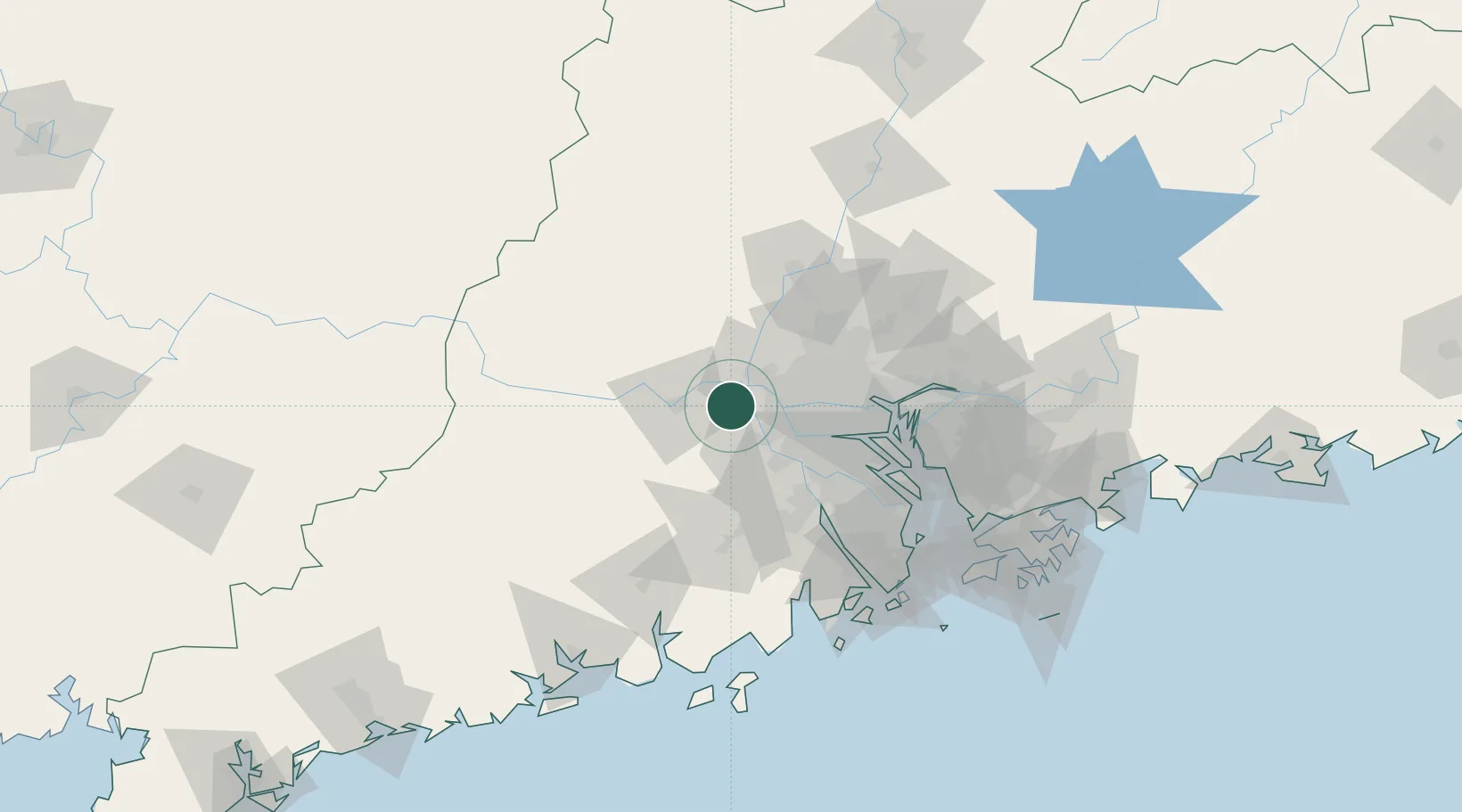
Location
Natural Earth 10m (public domain) · Guangdong · CNMOG · 23.05, 112.73
Google ↗
OSM ↗
Yandex ↗
Nearby Logistics Neighbours
Cities
1
Zhaoqing
9 km
2
Mafang
21 km
3
Xiaotang
26 km
4
Fengkai
29 km
5
Huaiji
29 km
Nearest neighbours — logibook spatial index (haversine) over the source coordinates
Ports
1
Guangzhou
52 km
2
Huangpu
70 km
3
Huangpuxingang
78 km
4
Zhuhai
126 km
5
Macau
129 km
Nearest neighbours — logibook spatial index (haversine) over the source coordinates
Airports
1
Foshan Shadi Airport
35 km
2
Guangzhou Baiyun International Airport
69 km
3
Shenzhen Bao'an International Airport
119 km
4
Macau International Airport
133 km
5
Zhuhai Jinwan Airport
134 km
Nearest neighbours — logibook spatial index (haversine) over the source coordinates
Trade Zones
1
Nanhai Economic Development Zone
30 km
2
Zhaoqing Industrial Park
30 km
3
Foshan Chancheng Economic Development Zone
31 km
4
Fushan Industrial Park
33 km
5
Nanhai High-tech Industrial Development Zone
33 km
Nearest neighbours — logibook spatial index (haversine) over the source coordinates
Data
book
The Record of Consolidated Knowledge
China beyond logistics?
Browse databook
→
All Sources
Locations
UN/LOCODE
UN/LOCODE — free
↗
Ports
the NGA World Port Index
Public domain (US gov)
↗
Airports
OurAirports
Public domain
↗
Trade Zones
the World Bank SEZ database
CC BY 4.0
↗
Trade Zones
Open Zone Map
CC BY
↗
← China locations