Diversified Zone · China

Changshan Economic Development Zone Active
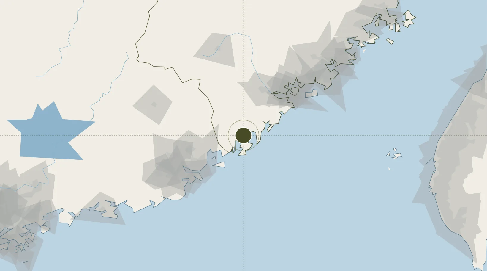
23.8586°, 117.3936°
11,500 ha
Zone area
16.0 km
Nearest port
96.8 km
Nearest airport

Gateway access

Nearest neighbours — logibook spatial index (haversine) over the source coordinates

Zone profile

Zone type
Diversified Zone
Open Zone Map
Region
Fujian
Open Zone Map
Status
Active
Open Zone Map
Management
Public
Open Zone Map
Operator
Management Committee of Changshan Economic Development Zone
Open Zone Map
Legal framework
It was established in July 1999
Open Zone Map

Location

Location of ozm-1006
Natural Earth 10m (public domain) · Fujian · ozm-1006 · 23.86, 117.39GoogleOSMYandex

Nearby Logistics Neighbours

Ports
  1. 1Dongshan16 km
  2. 2Chaozhou42 km
  3. 3Xiamen95 km
  4. 4Zhangzhou120 km
  5. 5Quanzhou167 km
Nearest neighbours — logibook spatial index (haversine) over the source coordinates
Airports
  1. 1Jieyang Chaoshan International Airport97 km
  2. 2Xiamen Gaoqi International Airport107 km
  3. 3Kinmen Airport117 km
  4. 4Meizhou Meixian Changgangji International Airport139 km
  5. 5Quanzhou Jinjiang International Airport160 km
Nearest neighbours — logibook spatial index (haversine) over the source coordinates
Cities
  1. 1Gulei25 km
  2. 2Gongkou30 km
  3. 3Jiuzhen37 km
  4. 4Zhelin43 km
  5. 5Raoping45 km
Nearest neighbours — logibook spatial index (haversine) over the source coordinates
Trade Zones
  1. 1Huaqiao Economic Development Zone0 km
  2. 2Gulei Port Economic Development Zone28 km
  3. 3Pinghe Industrial Park70 km
  4. 4Chaozhou Economic Development Zone81 km
  5. 5Jinfeng Economic Development Zone81 km
Nearest neighbours — logibook spatial index (haversine) over the source coordinates
DatabookThe Record of Consolidated Knowledge
China beyond logistics?
Browse databook

All Sources

Trade ZonesOpen Zone Map
CC BY
Portsthe NGA World Port Index
Public domain (US gov)
AirportsOurAirports
Public domain
LocationsUN/LOCODE
UN/LOCODE — free
← China trade zones