Transport Functions
Rail
Road
Hub Profile
Region
RM
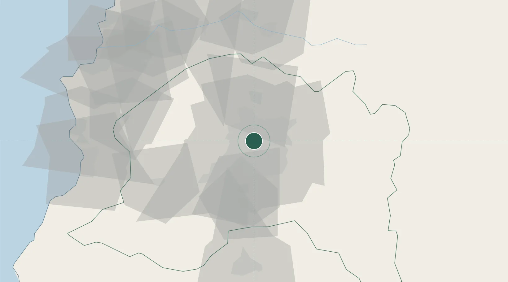
Location
Nearby Logistics Neighbours
Cities
- 1Santiago7 km
- 2Quilicura12 km
- 3San Bernardo17 km
- 4Colina28 km
- 5San Francisco de Mostazal60 km
Ports
- 1Puerto San Antonio89 km
- 2Bahia De Valparaiso100 km
- 3Bahia Quintero (Ventanas)111 km
- 4Bahia Herradura Guayacan393 km
- 5Coquimbo394 km
Airports
Trade Zones
DatabookThe Record of Consolidated Knowledge
Chile beyond logistics?