Medium airport · Russia
Dudinka AirportUROD
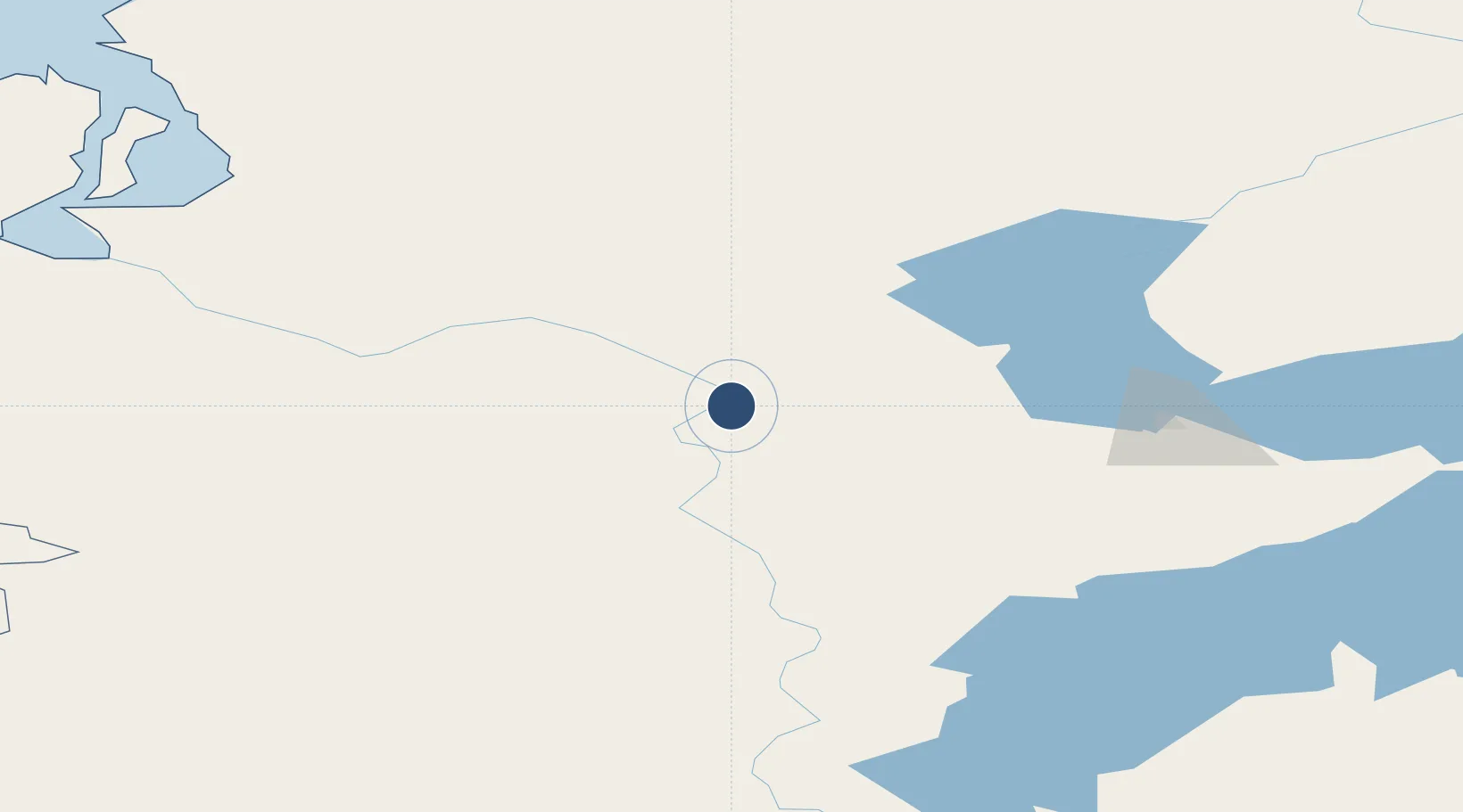
69.3750°, 86.1567°
4,758 ft
Longest runway
1
Runways
82 ft
Elevation
Runway & Layout

Runways · 1
| Runway | Dimensions | Surface | True heading | Lit |
|---|---|---|---|---|
| 01/19 | 4,758 × 92ft | Concrete | — | ✓ |
Airport Specifications
ICAO code
UROD
Airport class
Medium airport
Scheduled service
No
Runway surface
Concrete
Served city
Dudinka
Location
Nearby Logistics Neighbours
Airports
- 1Alykel International Airport47 km
- 2Igarka Airport216 km
- 3Svetlogorsk Airport297 km
- 4Turukhansk Airport405 km
- 5Yamburg Airport472 km
Cities
- 1Tazovskiy370 km
- 2Yamburg381 km
- 3Dikson500 km
- 4Nizhnevartovsk1037 km
- 5Koltogorskiye1048 km
Ports
- 1Dudinka3 km
- 2Igarka214 km
- 3Port Dikson501 km
- 4Jinzhou Wan3774 km
- 5Huludao Gang3775 km
Trade Zones
DatabookThe Record of Consolidated Knowledge
Russia beyond logistics?