Transport Functions
Port
Hub Profile
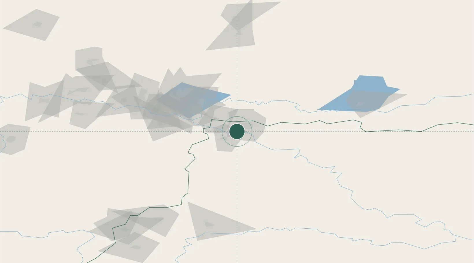
Place type
Populated place
Region
Tomsk Oblast
Time zone
Asia/Tomsk
Elevation
14 m
Location
Nearby Logistics Neighbours
Cities
- 1Nizhnevartovsk57 km
- 2Prokhorovskiy169 km
- 3Vertikoye189 km
- 4Narym301 km
- 5Kolpashevo405 km
Ports
- 1Igarka874 km
- 2Dudinka1051 km
- 3Port Dikson1433 km
- 4Mezen1738 km
- 5Bandar-E Mahshahr3950 km
Airports
- 1Strezhevoy Airport12 km
- 2Nizhnevartovsk Airport62 km
- 3Kogalym International Airport230 km
- 4Surgut International Airport231 km
- 5Nefteyugansk Airport265 km
DatabookThe Record of Consolidated Knowledge
Russia beyond logistics?