Medium airport · Russia
Igarka AirportUOII
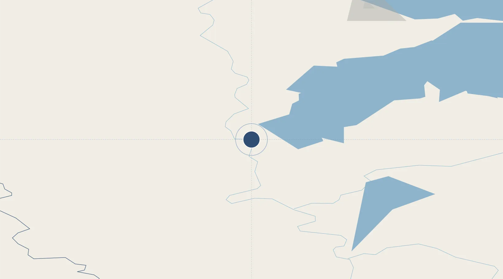
67.4372°, 86.6219°
8,202 ft
Longest runway
1
Runways
82 ft
Elevation
Runway & Layout

Runways · 1
| Runway | Dimensions | Surface | True heading | Lit |
|---|---|---|---|---|
| 12/30 | 8,202 × 147ft | Concrete | — | ✓ |
Airport Specifications
IATA code
IAA
ICAO code
UOII
Airport class
Medium airport
Scheduled service
Yes
Runway surface
Concrete
Served city
Igarka
Location
Nearby Logistics Neighbours
Airports
- 1Svetlogorsk Airport102 km
- 2Turukhansk Airport191 km
- 3Alykel International Airport210 km
- 4Dudinka Airport216 km
- 5Tolka Airport437 km
Cities
- 1Tazovskiy336 km
- 2Yamburg408 km
- 3Dikson711 km
- 4Nizhnevartovsk870 km
- 5Koltogorskiye873 km
Ports
- 1Igarka3 km
- 2Dudinka219 km
- 3Port Dikson711 km
- 4Jinzhou Wan3625 km
- 5Huludao Gang3627 km
Trade Zones
DatabookThe Record of Consolidated Knowledge
Russia beyond logistics?