Runway & Layout
Airport Specifications
IATA code
RRR
ICAO code
NTKO
Airport class
Small airport
Scheduled service
Yes
Served city
Raroia
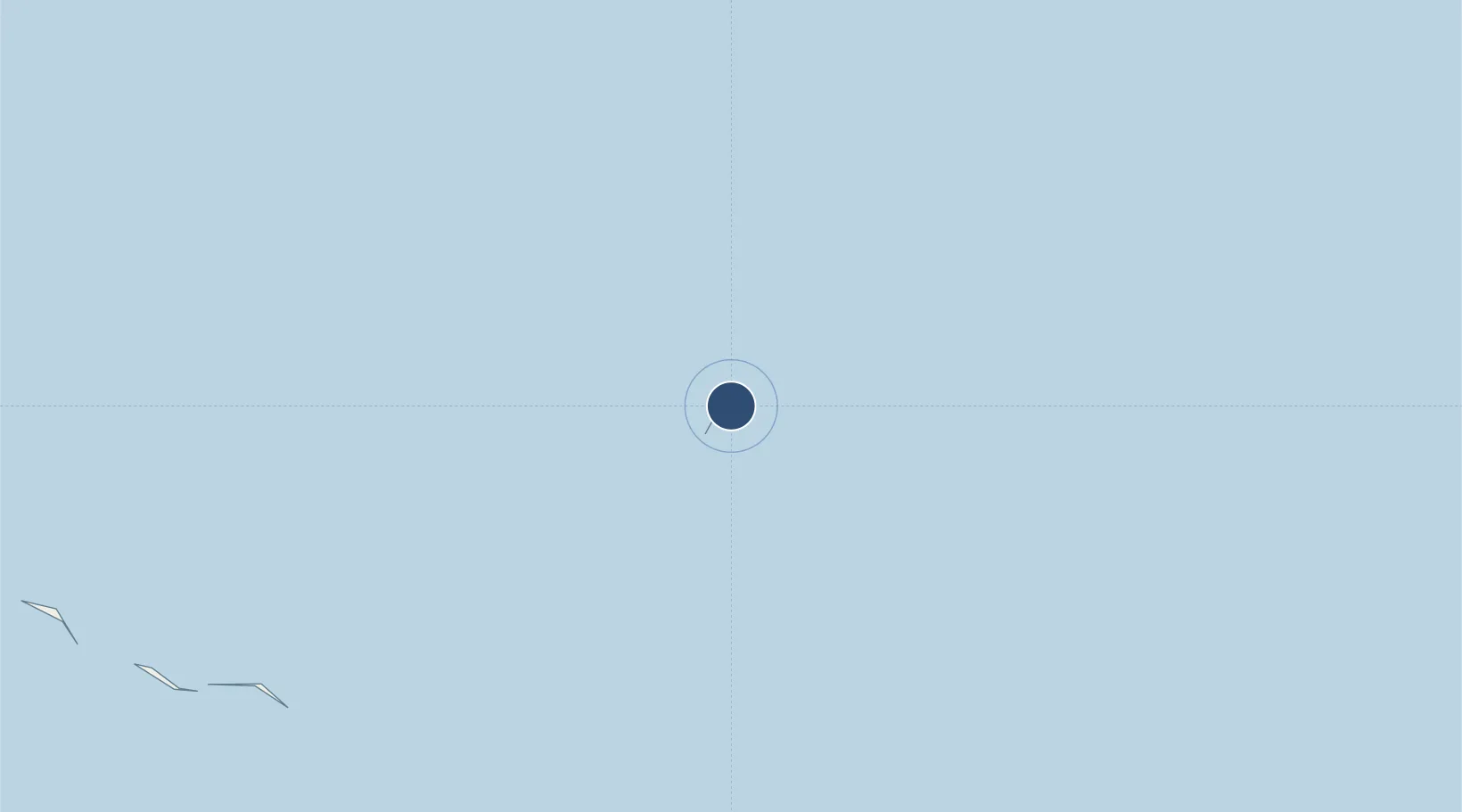
Location
Nearby Logistics Neighbours
Airports
- 1Makemo Airport139 km
- 2Hikueru Airport167 km
- 3Fangatau Airport172 km
- 4Napuka Island Airport246 km
- 5Fakahina Airport247 km
Cities
- 1Ikitake263 km
- 2Otepa284 km
- 3Niau416 km
- 4Hereheretue501 km
- 5Fatu Hiva745 km
Ports
- 1Papeete774 km
- 2Atuona787 km
- 3Baie Taiohae833 km
- 4Uturoa960 km
- 5Vaitape991 km
Trade Zones
- 1FTZ No. 009 Honolulu4480 km
- 2The Special Economic Zone of Lázaro Cárdenas - La Unión5810 km
- 3FTZ No. 060 Nogales6254 km
- 4Special Economic Zone of Salina Cruz6299 km
- 5FTZ No. 139 Sierra Vista6309 km
DatabookThe Record of Consolidated Knowledge
French Polynesia beyond logistics?