Transport Functions
Rail
Road
Hub Profile
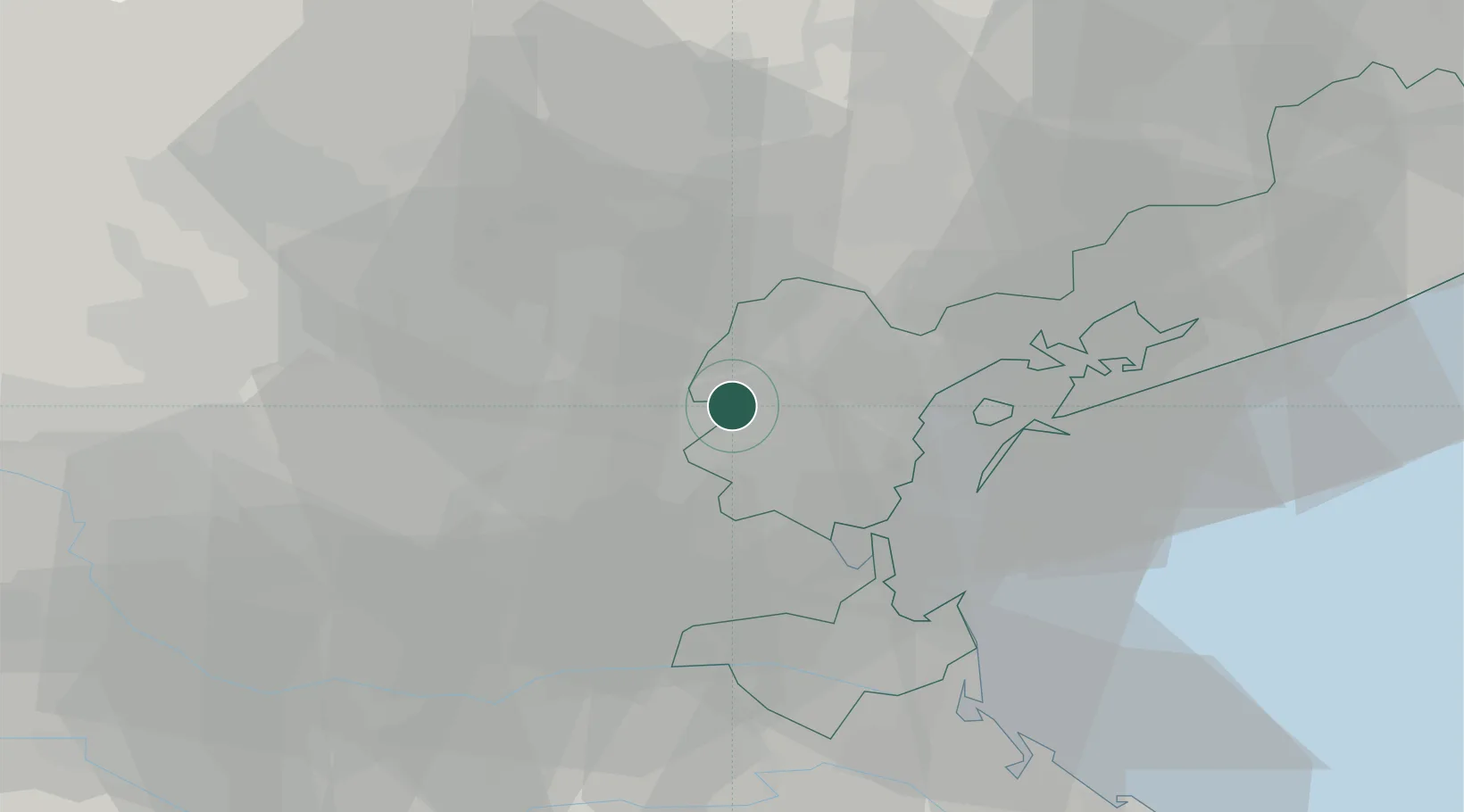
Place type
District seat
Region
Veneto
Population
6,169
Time zone
Europe/Rome
Elevation
8 m
Location
Nearby Logistics Neighbours
Cities
- 1Perarolo di Vigonza6 km
- 2Vigonovo8 km
- 3Salzano9 km
- 4Gambarare10 km
- 5Oriago10 km
Ports
- 1Porto Di Lido-Venezia31 km
- 2Porto Di Chioggia32 km
- 3Porto Garibaldi88 km
- 4Nogaro95 km
- 5Grado102 km
Airports
- 1Padova Gino Allegri Airfield16 km
- 2Treviso Airport25 km
- 3Venice Marco Polo Airport26 km
- 4Istrana Air Base26 km
- 5Aviano Air Base78 km
Trade Zones
DatabookThe Record of Consolidated Knowledge
Italy beyond logistics?