UN/LOCODE hub · Portugal
PTPRV
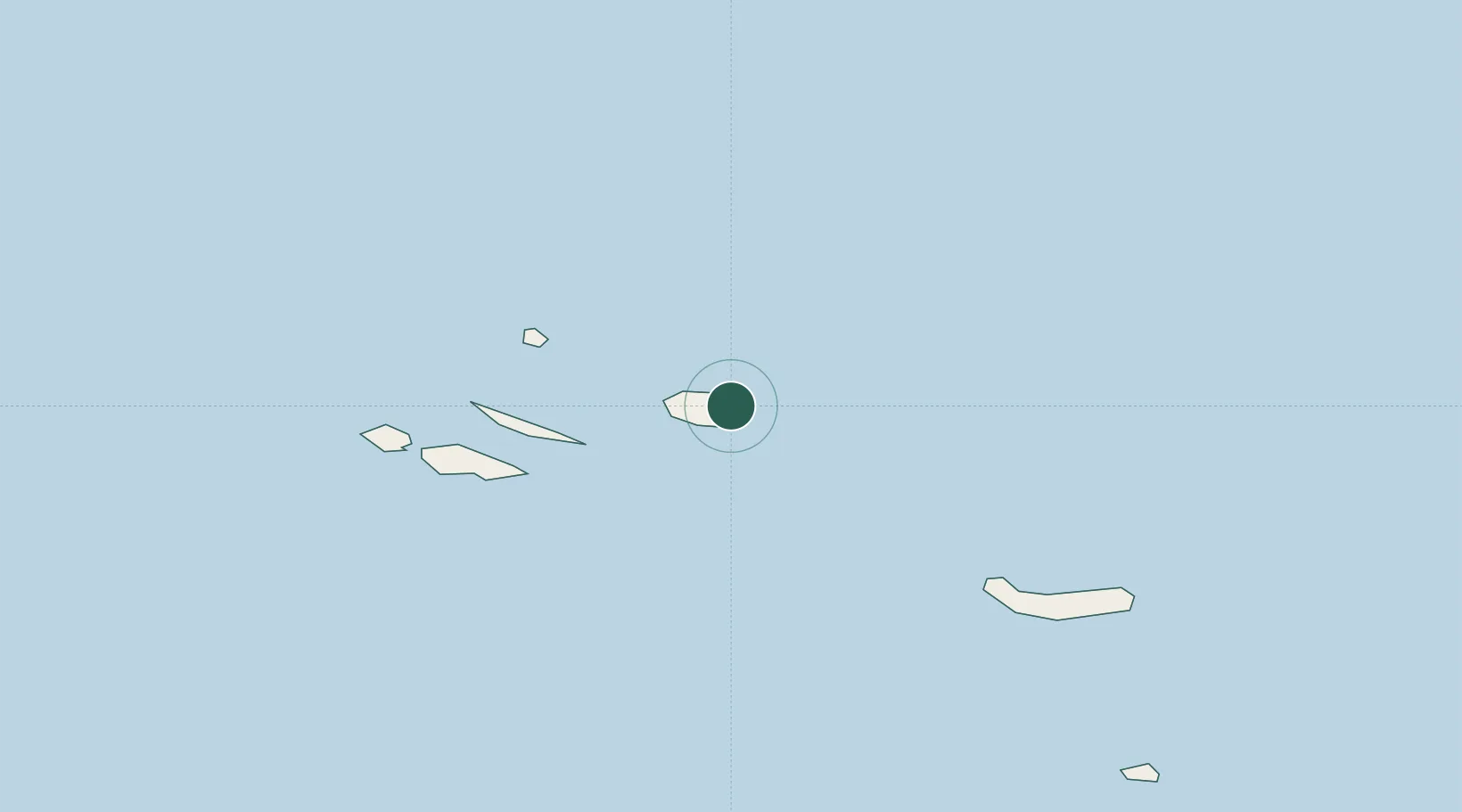
Praia da Vitória
38.7333°, -27.0667°
6,061
Population
2
Transport functions
Transport Functions
Port
Road
Hub Profile
Place type
Populated place
Region
Azores
Population
6,061
Time zone
Atlantic/Azores
Elevation
26 m
Location
Nearby Logistics Neighbours
Cities
- 1Terceira Island Apt13 km
- 2Angra do Heroísmo16 km
- 3São Mateus20 km
- 4Topo66 km
- 5Calheta, Island São Jorge84 km
Ports
- 1Angra Do Heroismo16 km
- 2Lajes111 km
- 3Horta138 km
- 4Ponta Delgada165 km
- 5Vila Do Porto262 km
Airports
- 1Lajes Airport4 km
- 2Graciosa Airport92 km
- 3São Jorge Airport97 km
- 4Pico Airport121 km
- 5Horta Airport145 km
Trade Zones
- 1Centro Internacional De Negocios da Madeira1138 km
- 2Zona Franca de Tenerife1516 km
- 3Zona Livre Tecnológica Masotinhos1587 km
- 4Zona Franca de Vigo1593 km
- 5Zona Franca de Las Palmas de Gran Canaria1594 km
DatabookThe Record of Consolidated Knowledge
Portugal beyond logistics?