Seaport · Portugal

Vila Do PortoPTVDP

36.9333°, -25.1500°
12.5 m
Channel depth
15.7
Port liner connectivity
Vila Do Porto is also a UN/LOCODE logistics hub →

Channel & Berth Profile

SEA LEVEL (CD)CHANNEL BEDCargo pier · 4.9 mOil terminal · 11.0 mChannel · 12.5 mAnchorage · 23.2 m
NGA World Port Index

Pilotage, Tugs & Services

Pilotage compulsoryYES
Pilotage availableYES
Potable waterYES
NGA World Port Index

Facilities & Capabilities

Container
Ro-Ro
Liquid bulk
Dry bulk
Oil terminal
Break bulk
Dry dock
RepairsNO
BunkeringYES
Rail link
Dangerous cargo
ISPS security
NGA World Port Index

Harbour Specifications

Harbour size
Very Small
NGA World Port Index
Harbour type
Coastal (Natural)
NGA World Port Index
Shelter
Fair
NGA World Port Index
Water body
North Atlantic Ocean
NGA World Port Index
Tidal range
2 m
NGA World Port Index
Pilotage
Yes
NGA World Port Index

Liner Connectivity

15.7
PLSCI

Port Liner Shipping Connectivity Index for Vila Do Porto, as published by UNCTAD for the latest available quarter. Higher values indicate stronger scheduled liner-shipping integration.

Shown relative to the highest per-port PLSCI in the dataset (1,657.9).
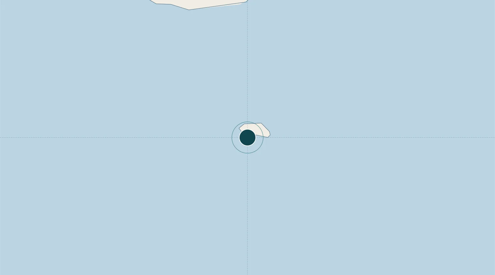
UNCTAD · Port Liner Shipping Connectivity Index

Location

Location of PTVDP
Natural Earth 10m (public domain) · PTVDP · 36.93, -25.15GoogleOSMYandex

Nearby Logistics Neighbours

Ports
  1. 1Ponta Delgada100 km
  2. 2Praia De Vitoria259 km
  3. 3Angra Do Heroismo264 km
  4. 4Lajes319 km
  5. 5Horta354 km
Nearest neighbours — logibook spatial index (haversine) over the source coordinates
Cities
  1. 1Sérifos63 km
  2. 2Vila Franca do Campo91 km
  3. 3Povoação91 km
  4. 4Nordeste100 km
  5. 5Ponta Delgada100 km
Nearest neighbours — logibook spatial index (haversine) over the source coordinates
Airports
  1. 1Santa Maria Airport5 km
  2. 2João Paulo II Airport102 km
  3. 3Lajes Airport265 km
  4. 4São Jorge Airport328 km
  5. 5Pico Airport341 km
Nearest neighbours — logibook spatial index (haversine) over the source coordinates
Trade Zones
  1. 1Centro Internacional De Negocios da Madeira890 km
  2. 2Zona Franca de Tenerife1255 km
  3. 3Zona Franca de Las Palmas de Gran Canaria1334 km
  4. 4Zona Livre Tecnológica Masotinhos1495 km
  5. 5VGP Park Santa Maria da Feira1499 km
Nearest neighbours — logibook spatial index (haversine) over the source coordinates
DatabookThe Record of Consolidated Knowledge
Portugal beyond logistics?
Browse databook

All Sources

Portsthe NGA World Port Index
Public domain (US gov)
Logistics performanceUNCTAD
CC BY 3.0 IGO
AirportsOurAirports
Public domain
LocationsUN/LOCODE
UN/LOCODE — free
Trade Zonesthe World Bank SEZ database
CC BY 4.0
Trade ZonesOpen Zone Map
CC BY
← Portugal ports