UN/LOCODE hub · Portugal
PTADH
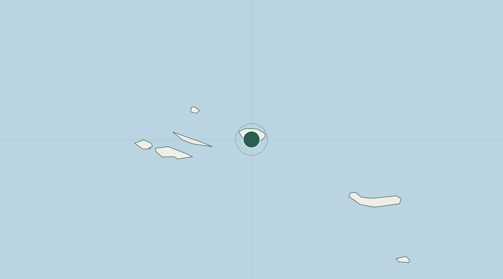
Angra do Heroísmo
38.6500°, -27.2167°
12,045
Population
2
Transport functions
Transport Functions
Port
Road
Hub Profile
Place type
Populated place
Region
Azores
Population
12,045
Time zone
Atlantic/Azores
Elevation
1 m
Location
Nearby Logistics Neighbours
Cities
- 1São Mateus4 km
- 2Terceira Island Apt7 km
- 3Praia da Vitória16 km
- 4Topo51 km
- 5Calheta, Island São Jorge70 km
Ports
- 1Praia De Vitoria16 km
- 2Lajes96 km
- 3Horta124 km
- 4Ponta Delgada170 km
- 5Vila Do Porto264 km
Airports
- 1Lajes Airport17 km
- 2São Jorge Airport83 km
- 3Graciosa Airport86 km
- 4Pico Airport107 km
- 5Horta Airport131 km
Trade Zones
- 1Centro Internacional De Negocios da Madeira1144 km
- 2Zona Franca de Tenerife1518 km
- 3Zona Franca de Las Palmas de Gran Canaria1597 km
- 4Zona Livre Tecnológica Masotinhos1602 km
- 5Zona Franca de Vigo1609 km
DatabookThe Record of Consolidated Knowledge
Portugal beyond logistics?