UN/LOCODE hub · Malta
MTDIS

Malta Freeport Distripark

35.8333°, 14.5333°
2
Transport functions

Transport Functions

Port
Road
UN/LOCODE

Hub Profile

Region
05
GeoNames

Location

Location of MTDIS
Natural Earth 10m (public domain) · 05 · MTDIS · 35.83, 14.53GoogleOSMYandex

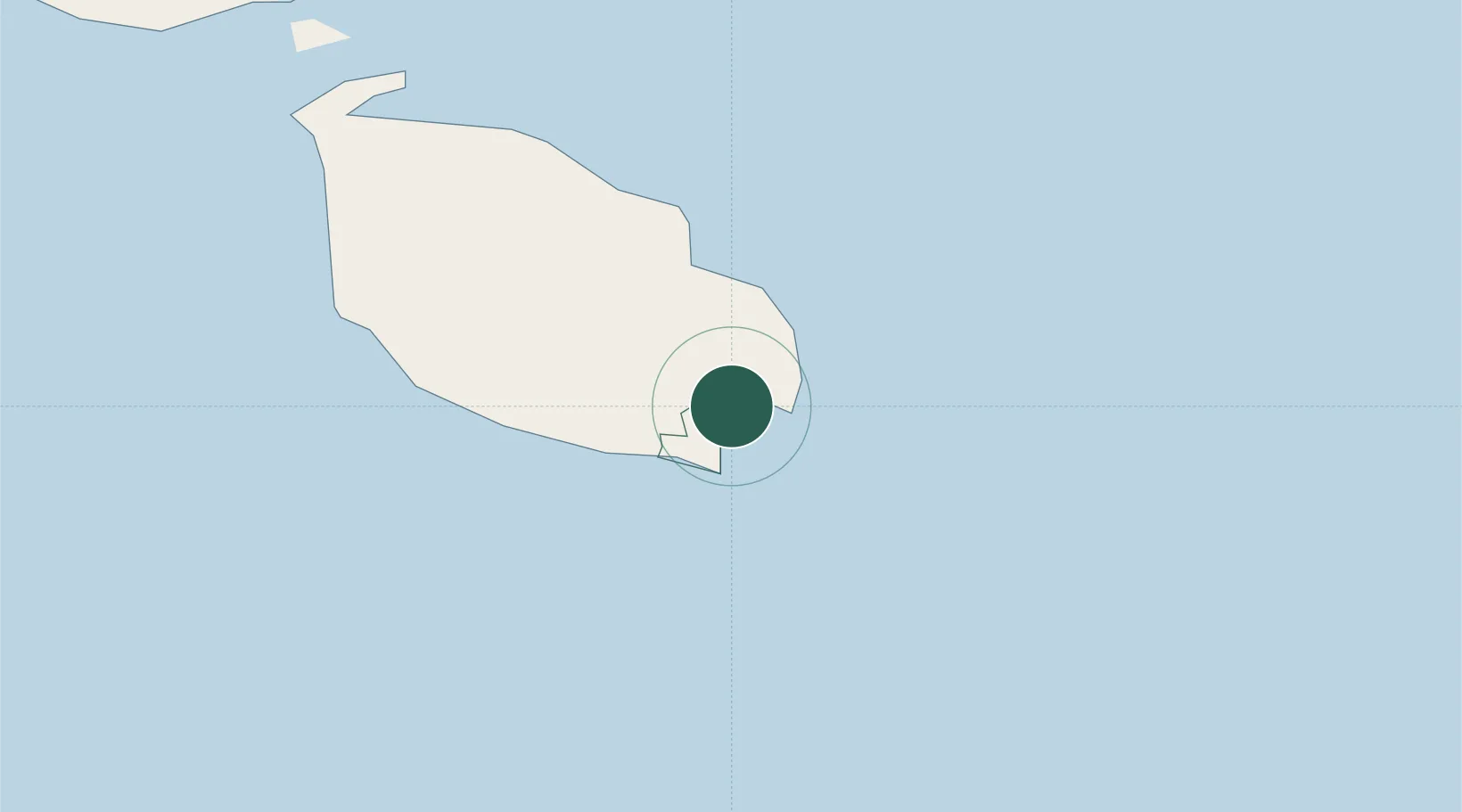
Nearby Logistics Neighbours

Cities
  1. 1Birzebbugia0 km
  2. 2Ghaxaq2 km
  3. 3Marsaxlokk2 km
  4. 4Delimara2 km
  5. 5Gudja3 km
Nearest neighbours — logibook spatial index (haversine) over the source coordinates
Ports
  1. 1Marsaxlokk2 km
  2. 2Valletta Harbors8 km
  3. 3Pozzallo102 km
  4. 4Gela140 km
  5. 5Licata150 km
Nearest neighbours — logibook spatial index (haversine) over the source coordinates
Airports
  1. 1Malta International Airport4 km
  2. 2Xewkija Heliport32 km
  3. 3Comiso Airport129 km
  4. 4Lampedusa Airport177 km
  5. 5Sigonella Navy Air Base178 km
Nearest neighbours — logibook spatial index (haversine) over the source coordinates
Trade Zones
  1. 1Malta Freeport2 km
  2. 2Sicily Special Economic Zone Area193 km
  3. 3Misurata Free Zone394 km
  4. 4Zwara-Abu-Kemmash Free Trade Zone395 km
  5. 5Ben Guerdane Economic Free Zone405 km
Nearest neighbours — logibook spatial index (haversine) over the source coordinates
DatabookThe Record of Consolidated Knowledge
Malta beyond logistics?
Browse databook

All Sources

LocationsUN/LOCODE
UN/LOCODE — free
Portsthe NGA World Port Index
Public domain (US gov)
AirportsOurAirports
Public domain
Trade Zonesthe World Bank SEZ database
CC BY 4.0
Trade ZonesOpen Zone Map
CC BY
← Malta locations