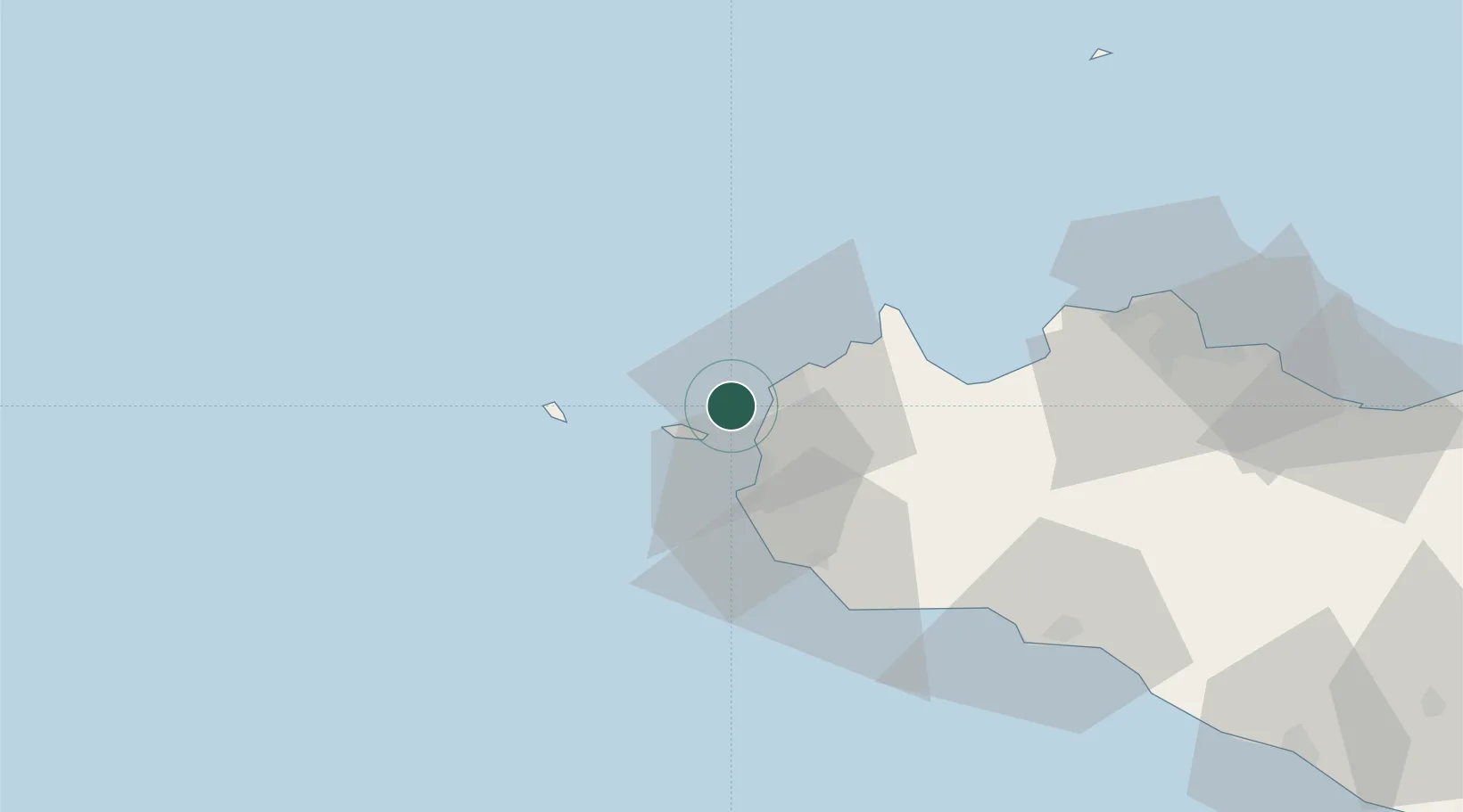
UN/LOCODE hub · Italy
ITFOR

Isolotto Formica

37.9833°, 12.4167°
1
Transport functions

Transport Functions

Port
UN/LOCODE

Location

Location of ITFOR
Natural Earth 10m (public domain) · Trapani · ITFOR · 37.98, 12.42GoogleOSMYandex

Nearby Logistics Neighbours

Cities
  1. 1Levanzo7 km
  2. 2Favignana9 km
  3. 3Paceco12 km
  4. 4Marsala20 km
  5. 5Custonaci25 km
Nearest neighbours — logibook spatial index (haversine) over the source coordinates
Ports
  1. 1Levanzo7 km
  2. 2Trapani9 km
  3. 3Favignana10 km
  4. 4Marsala22 km
  5. 5Marettimo30 km
Nearest neighbours — logibook spatial index (haversine) over the source coordinates
Airports
  1. 1Vincenzo Florio Airport Trapani-Birgi10 km
  2. 2Falcone–Borsellino Airport63 km
  3. 3Palermo-Boccadifalco Airport80 km
  4. 4Pantelleria Airport136 km
  5. 5Comiso Airport222 km
Nearest neighbours — logibook spatial index (haversine) over the source coordinates
Trade Zones
  1. 1Sicily Special Economic Zone Area170 km
  2. 2Bizerte Park of Economic Activities239 km
  3. 3Malta Freeport306 km
  4. 4Campania Special Economic Zone (Naples and Salerno)325 km
  5. 5Calabria Special Economic Zone363 km
Nearest neighbours — logibook spatial index (haversine) over the source coordinates
DatabookThe Record of Consolidated Knowledge
Italy beyond logistics?
Browse databook

All Sources

LocationsUN/LOCODE
UN/LOCODE — free
Portsthe NGA World Port Index
Public domain (US gov)
AirportsOurAirports
Public domain
Trade Zonesthe World Bank SEZ database
CC BY 4.0
Trade ZonesOpen Zone Map
CC BY
← Italy locations