Transport Functions
Port
Road
Hub Profile
Place type
Populated place
Region
Sicily
Population
190
Time zone
Europe/Rome
Elevation
19 m
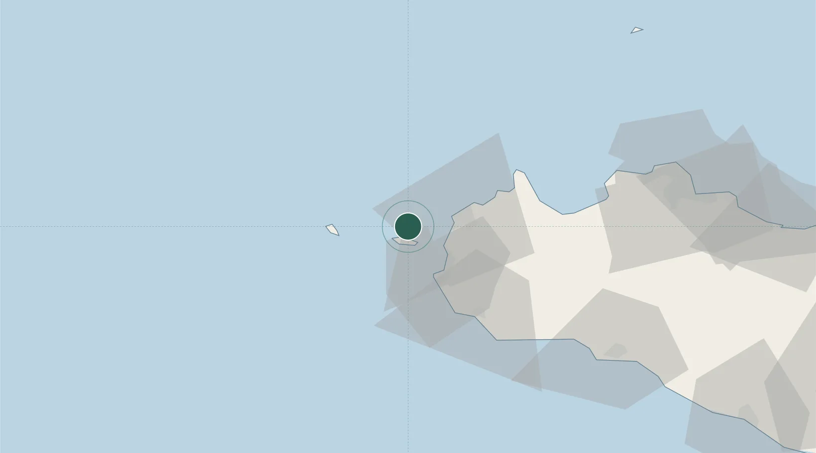
Location
Nearby Logistics Neighbours
Cities
- 1Favignana6 km
- 2Isolotto Formica7 km
- 3Paceco19 km
- 4Marsala22 km
- 5Custonaci32 km
Ports
- 1Favignana6 km
- 2Trapani16 km
- 3Marettimo23 km
- 4Marsala24 km
- 5San Vito Lo Capo42 km
Airports
Trade Zones
DatabookThe Record of Consolidated Knowledge
Italy beyond logistics?