UN/LOCODE hub · Italy
ITGIT
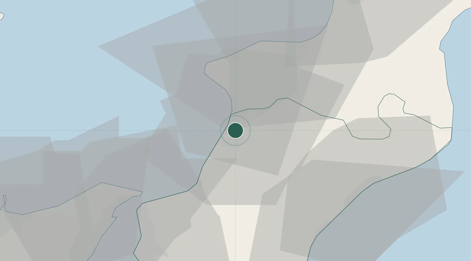
Gioia Tauro
38.4579°, 15.9279°
18,769
Population
1
Transport functions
1
Container terminals
Transport Functions
Port
Hub Profile
Place type
District seat
Region
Calabria
Population
18,769
Time zone
Europe/Rome
Elevation
29 m
Logistics facilities
7
Container terminals
1
Location
Nearby Logistics Neighbours
Cities
- 1Rosarno4 km
- 2Nicotera Marina10 km
- 3Melicucco12 km
- 4Polistena14 km
- 5Palmi14 km
Ports
- 1Vibo Valentia Marina34 km
- 2Villa San Giovanni37 km
- 3Messina43 km
- 4Reggio Di Calabria44 km
- 5Milazzo65 km
Airports
DatabookThe Record of Consolidated Knowledge
Italy beyond logistics?