Transport Functions
Multimodal
Hub Profile
Place type
Populated place
Region
Calabria
Time zone
Europe/Rome
Elevation
66 m
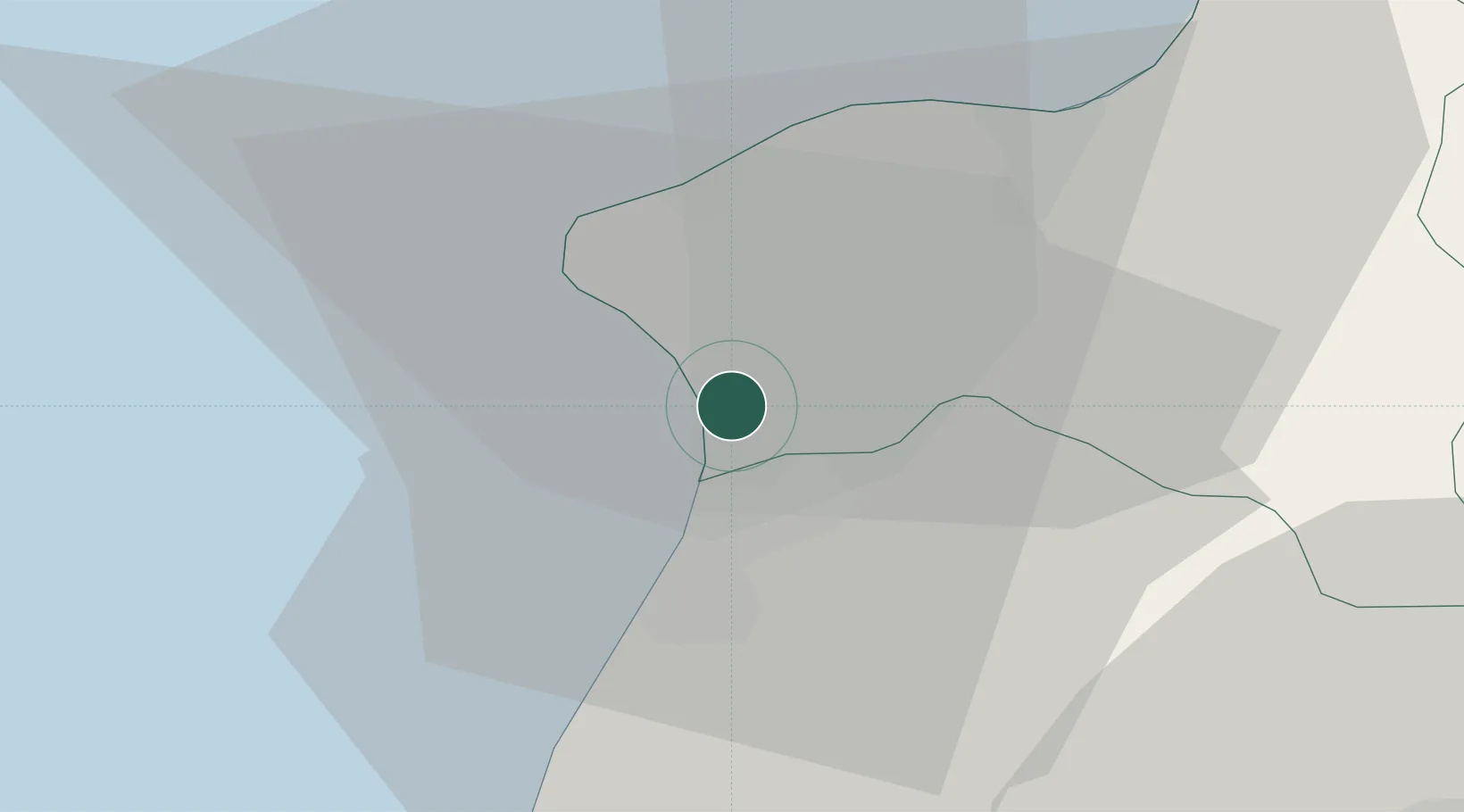
Location
Nearby Logistics Neighbours
Cities
- 1Rosarno8 km
- 2Gioia Tauro10 km
- 3Jonadi13 km
- 4Melicucco17 km
- 5Cinquefrondi20 km
Ports
- 1Gioia Tauro12 km
- 2Vibo Valentia Marina26 km
- 3Villa San Giovanni45 km
- 4Messina50 km
- 5Reggio Di Calabria53 km
Airports
DatabookThe Record of Consolidated Knowledge
Italy beyond logistics?