Channel & Berth Profile
Pilotage, Tugs & Services
Pilotage compulsoryYES
Pilotage availableYES
Pilotage advisableYES
Tug assistanceYES
Shore powerNO
Potable waterYES
Diesel bunkersYES
MedicalYES
Garbage disposalYES
Facilities & Capabilities
Container—
Ro-Ro—
Liquid bulk—
Dry bulk—
Oil terminal—
Break bulk—
Dry dock—
RepairsNO
BunkeringYES
Rail linkYES
Dangerous cargo—
ISPS security—
Harbour Specifications
Harbour size
Small
Harbour type
Coastal (Breakwater)
Shelter
Fair
Water body
Mediterranean Sea; North Atlantic Ocean
Tidal range
1 m
Pilotage
Yes
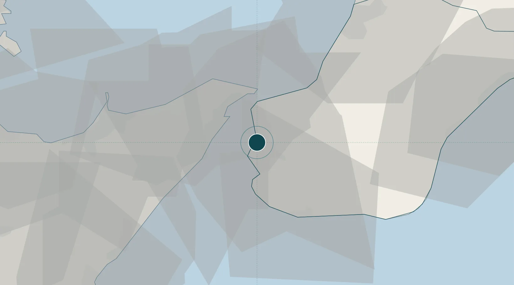
Location
Nearby Logistics Neighbours
Ports
- 1Villa San Giovanni11 km
- 2Messina11 km
- 3Milazzo36 km
- 4Gioia Tauro41 km
- 5Giardini Naxos47 km
Cities
- 1Rosalì8 km
- 2Villa San Giovanni, Calabria10 km
- 3San Leo di Pellaro11 km
- 4Mili Marina12 km
- 5Torre Faro14 km
Airports
Trade Zones
DatabookThe Record of Consolidated Knowledge
Italy beyond logistics?