Transport Functions
Port
Rail
Road
Hub Profile
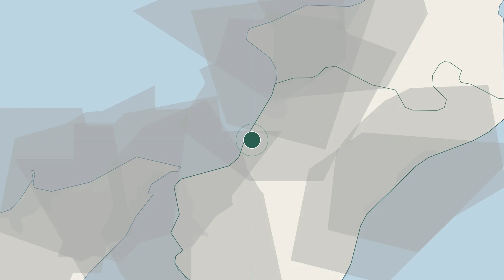
Place type
District seat
Region
Calabria
Population
18,556
Time zone
Europe/Rome
Elevation
228 m
Location
Nearby Logistics Neighbours
Cities
- 1Bagnara Calabra9 km
- 2Gioia Tauro14 km
- 3Taurianova15 km
- 4Scilla16 km
- 5Rosarno18 km
Ports
- 1Gioia Tauro11 km
- 2Villa San Giovanni24 km
- 3Messina30 km
- 4Reggio Di Calabria30 km
- 5Vibo Valentia Marina48 km
Airports
Trade Zones
DatabookThe Record of Consolidated Knowledge
Italy beyond logistics?