Transport Functions
Rail
Road
Hub Profile
Place type
District seat
Region
Calabria
Population
11,676
Time zone
Europe/Rome
Elevation
210 m
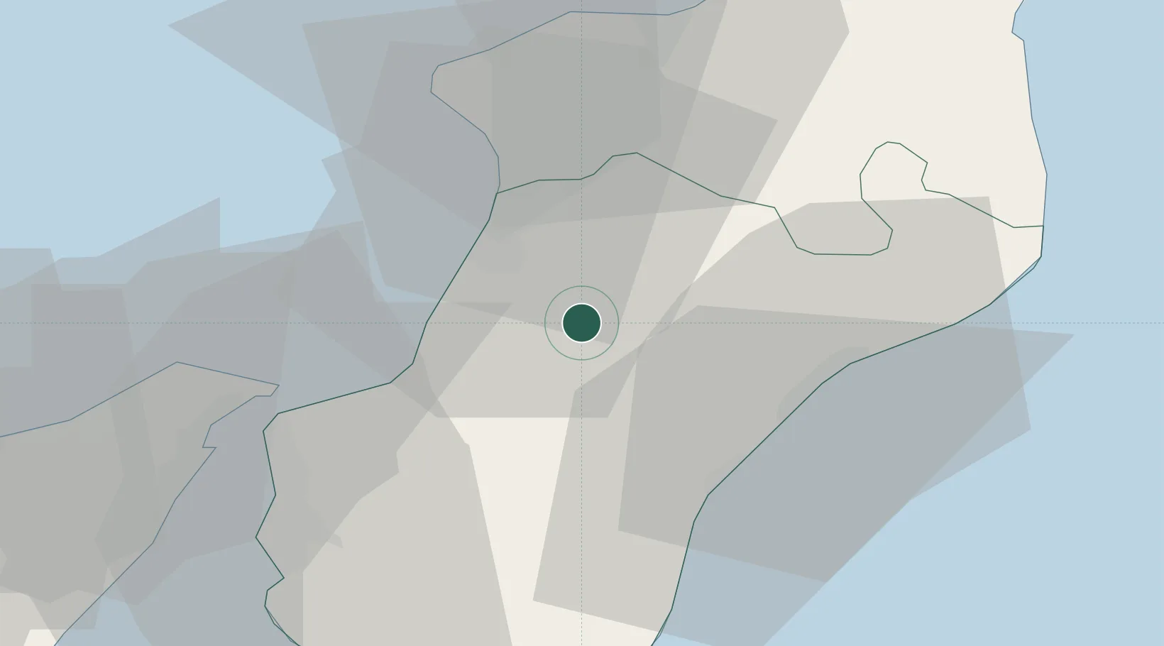
Location
Nearby Logistics Neighbours
Cities
- 1Polistena7 km
- 2Melicucco10 km
- 3Amato11 km
- 4Cinquefrondi12 km
- 5Gioia Tauro14 km
Ports
- 1Gioia Tauro15 km
- 2Villa San Giovanni37 km
- 3Reggio Di Calabria40 km
- 4Vibo Valentia Marina43 km
- 5Messina43 km
Airports
Trade Zones
DatabookThe Record of Consolidated Knowledge
Italy beyond logistics?