UN/LOCODE hub · Spain
ESSAG
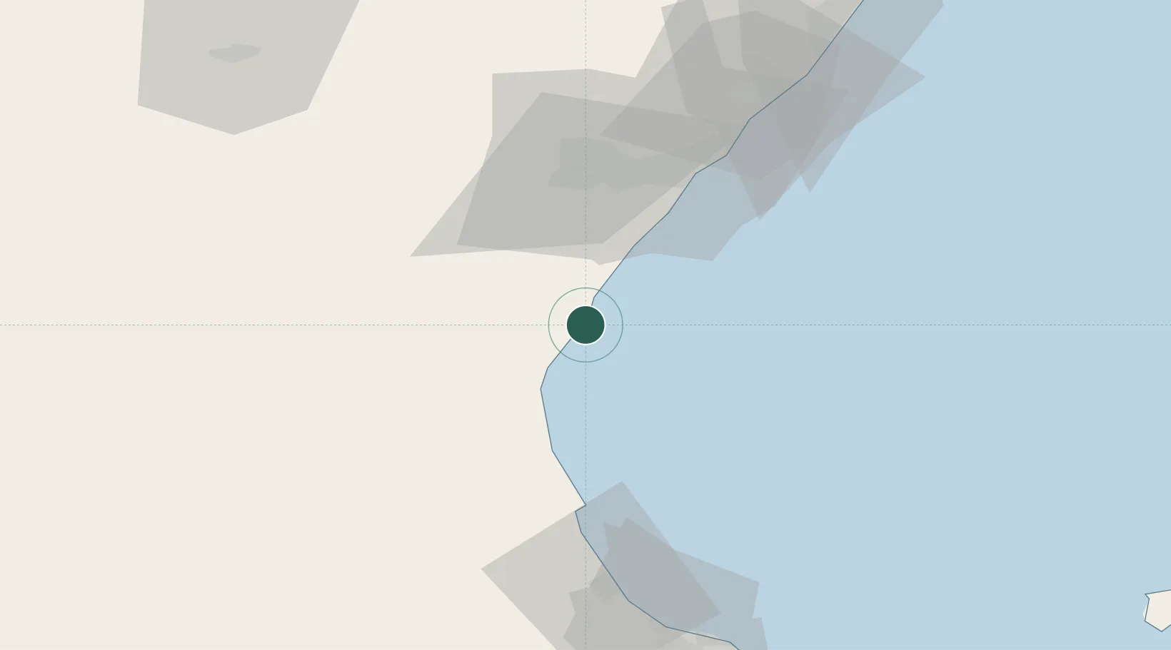
Sagunto
39.6441°, -0.2157°
66,070
Population
3
Transport functions
1
Container terminals
Transport Functions
Port
Rail
Road
Hub Profile
Place type
Populated place
Region
Valencia
Population
66,070
Time zone
Europe/Madrid
Elevation
43 m
Logistics facilities
2
Container terminals
1
Location
Nearby Logistics Neighbours
Cities
- 1Puerto de Sagunto1 km
- 2Masamagrell13 km
- 3Meliana16 km
- 4Serra19 km
- 5Almassera20 km
Ports
- 1Valencia23 km
- 2Burriana30 km
- 3El Grao41 km
- 4Puerto De Gandia72 km
- 5Alicante148 km
Airports
- 1Valencia Airport29 km
- 2Castellón-Costa Azahar Airport68 km
- 3Teruel Airport121 km
- 4Alicante-Elche Miguel Hernández Airport154 km
- 5Ibiza Airport161 km
Trade Zones
- 1Depósito Franco de Valencia24 km
- 2Depósito Franco de Alicante147 km
- 3Depósito Franco de Tarragona205 km
- 4Depósito Franco de Zaragoza227 km
- 5Zona Franca de Barcelona273 km
DatabookThe Record of Consolidated Knowledge
Spain beyond logistics?