UN/LOCODE hub · United States
USICJ
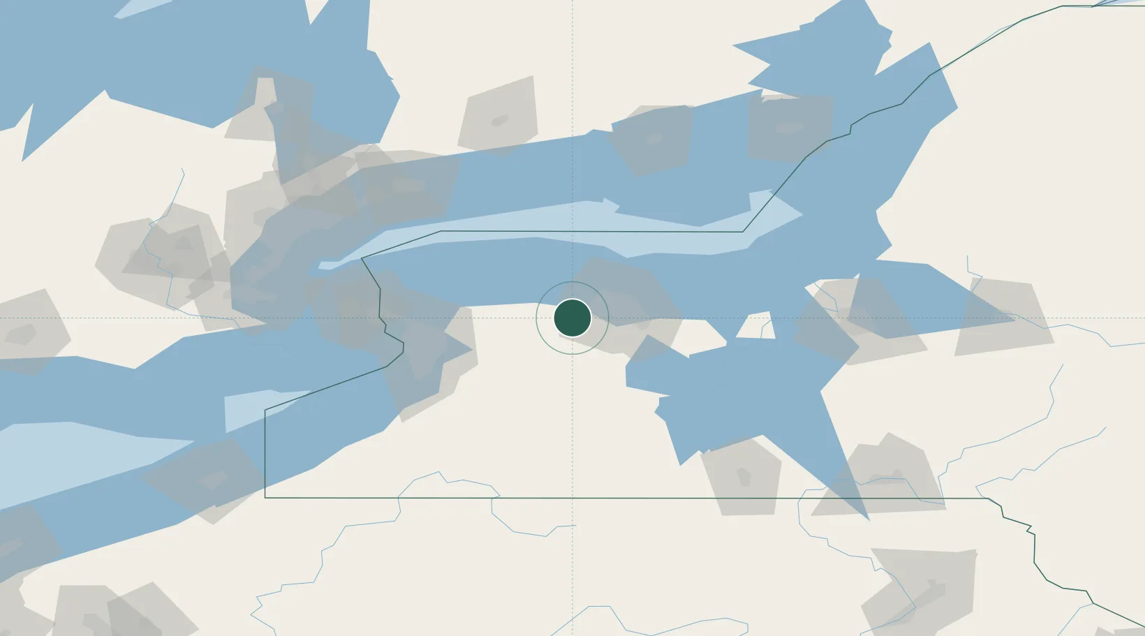
Churchville
43.1000°, -77.8833°
2,032
Population
2
Transport functions
Transport Functions
Rail
Road
Hub Profile
Place type
Populated place
Region
New York
Population
2,032
Time zone
America/New_York
Elevation
178 m
Location
Nearby Logistics Neighbours
Cities
- 1Bergen6 km
- 2Spencerport12 km
- 3Scottsville15 km
- 4Holley17 km
- 5Greece20 km
Ports
- 1Rochester30 km
- 2Sodus Bay75 km
- 3Tonawanda82 km
- 4Buffalo85 km
- 5Youngstown96 km
Airports
Trade Zones
- 1FTZ No. 141 Monroe County22 km
- 2FTZ No. 289 Ontario County41 km
- 3FTZ No. 023 Buffalo84 km
- 4Niagara Foreign Trade Zone95 km
- 5FTZ No. 034 Niagara County103 km
DatabookThe Record of Consolidated Knowledge
United States beyond logistics?