Transport Functions
Rail
Road
Hub Profile
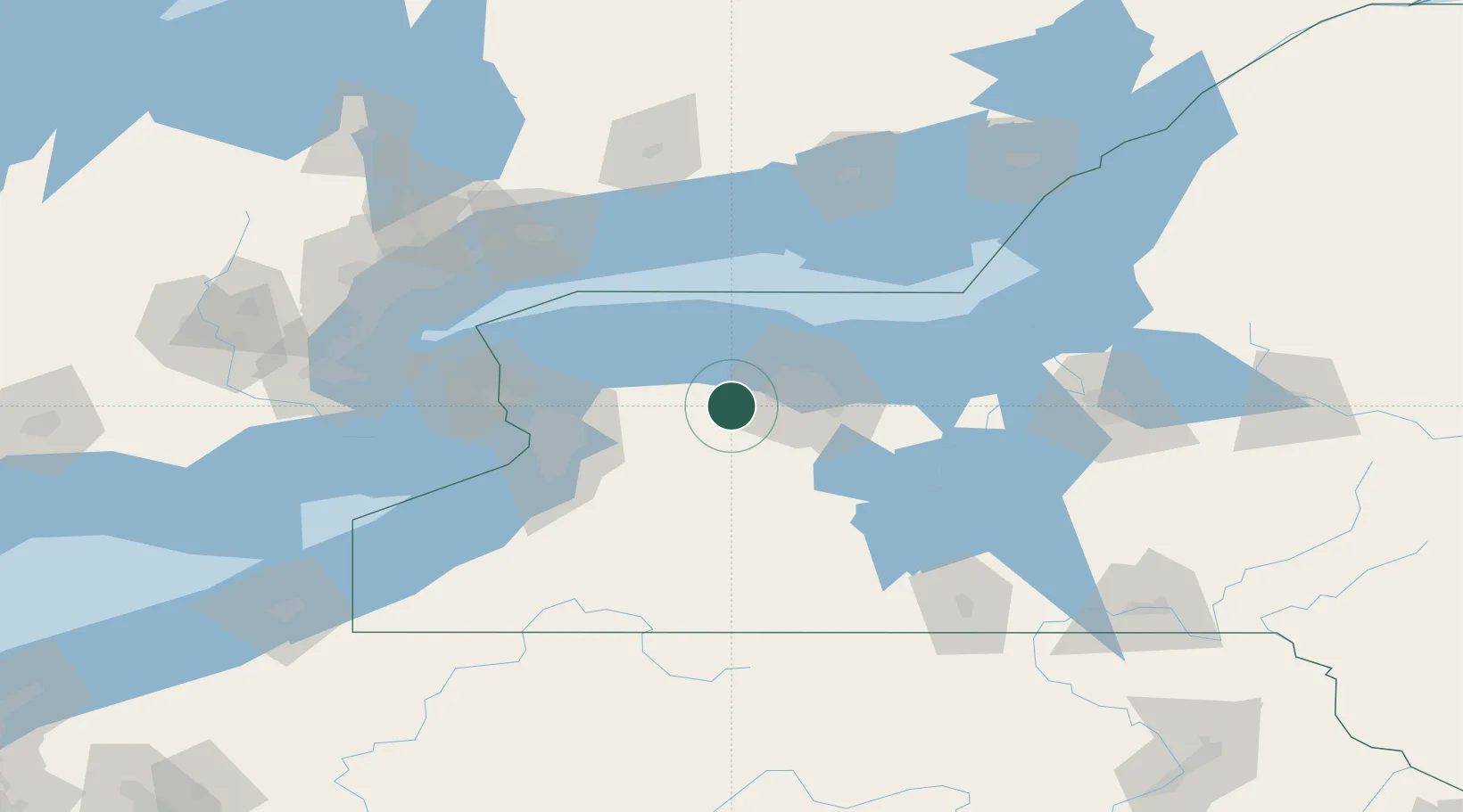
Place type
Populated place
Region
New York
Population
1,133
Time zone
America/New_York
Elevation
185 m
Location
Nearby Logistics Neighbours
Cities
- 1Churchville6 km
- 2Holley16 km
- 3Spencerport17 km
- 4Scottsville19 km
- 5Greece25 km
Airports
Trade Zones
DatabookThe Record of Consolidated Knowledge
United States beyond logistics?